


Maps of France
Hand-finished wooden maps of France from our family workshop
Filters
6 products






Two kinds of map, one country
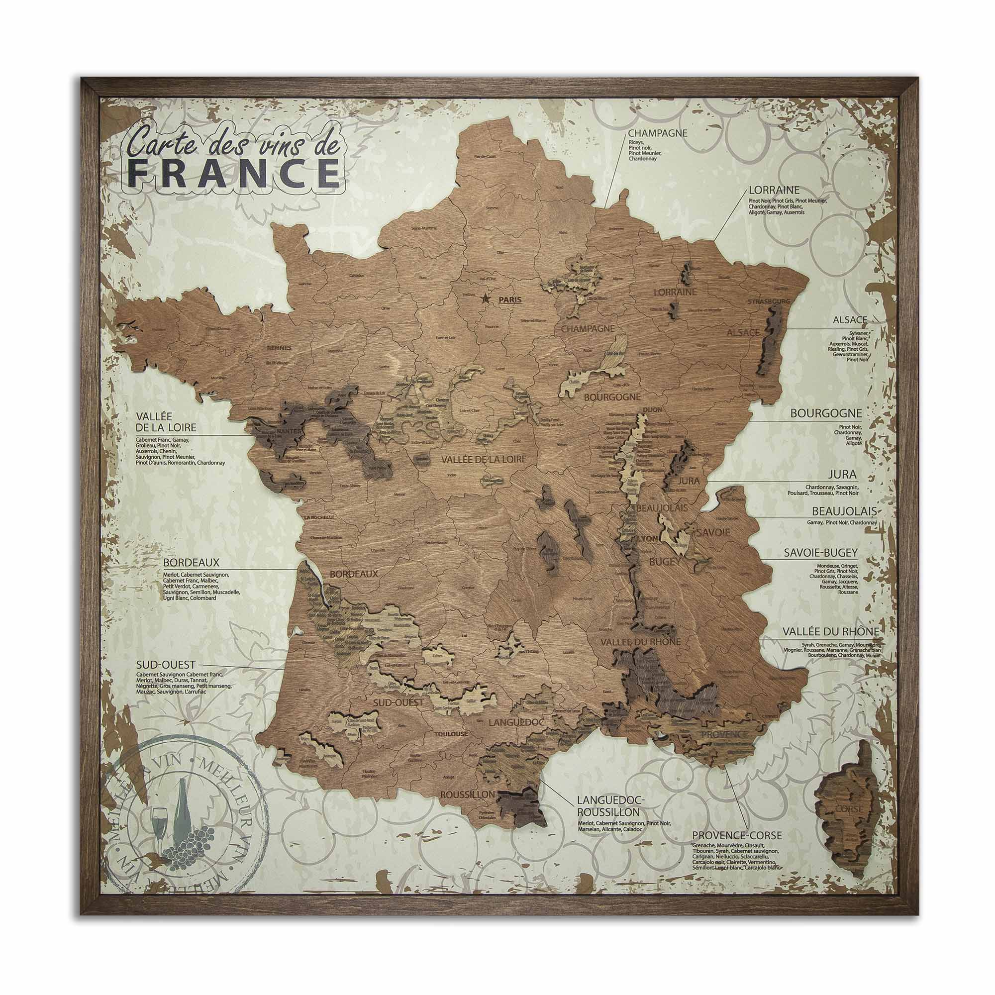
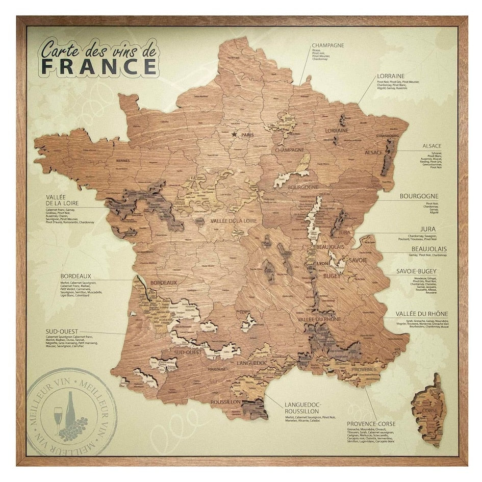
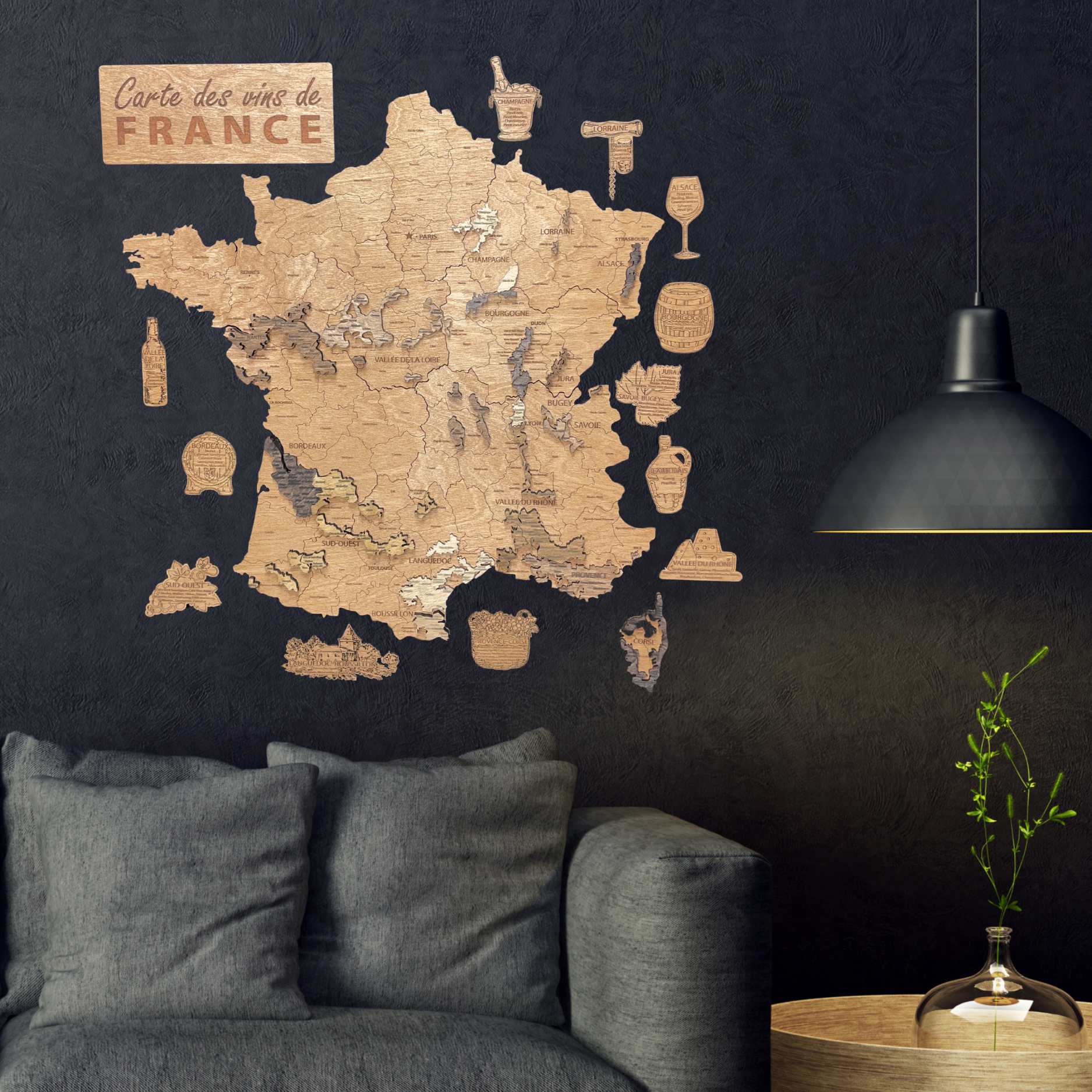
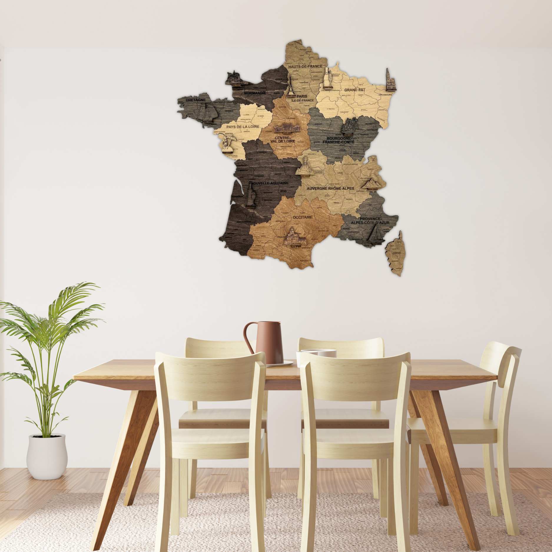
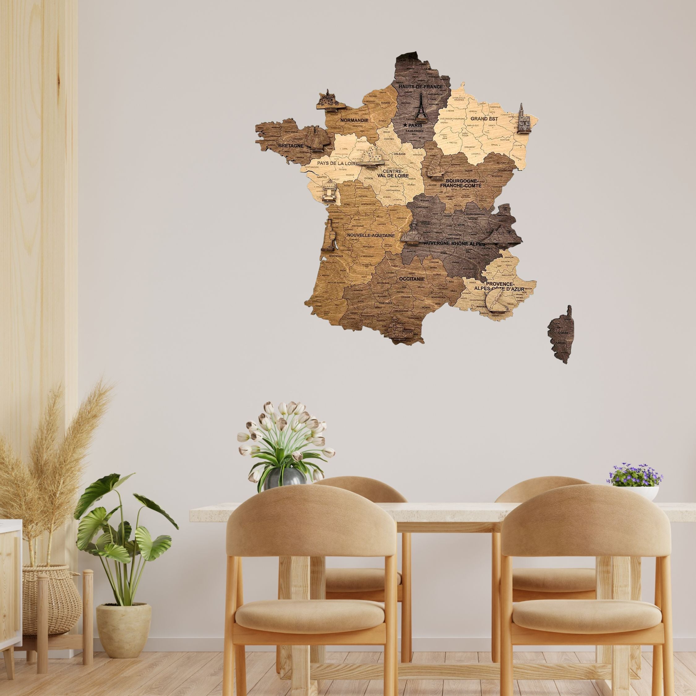
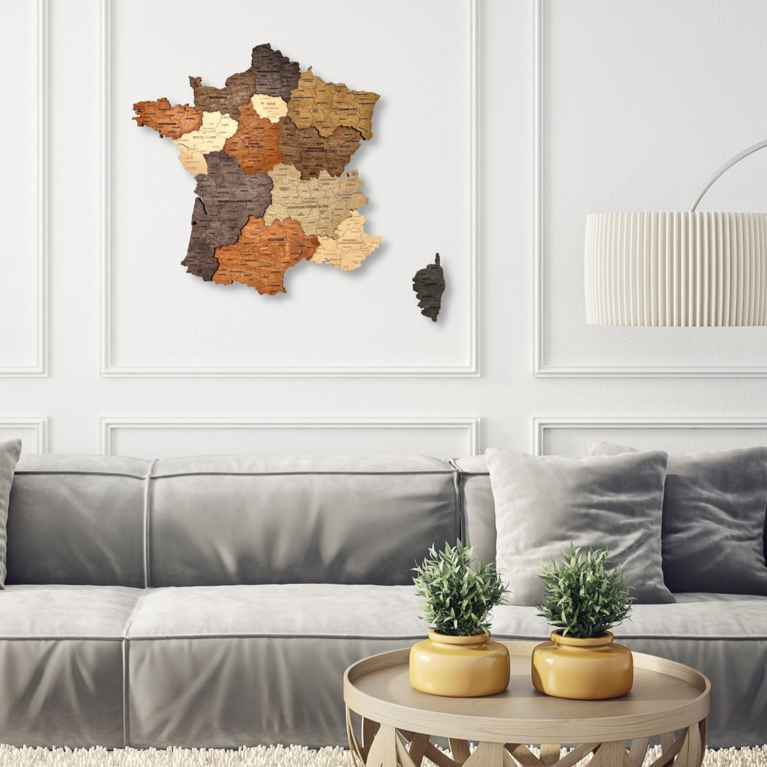
Our maps of France in wood answer two different questions. The wine maps divide the country by wine region, with the vineyards raised on the wood – the France a wine label refers to. The regional maps divide it by région and département, which is the France of postal codes, holidays and where people are from.
Both are cut and engraved the same way. What differs is which lines are drawn.
What do the wine maps show?
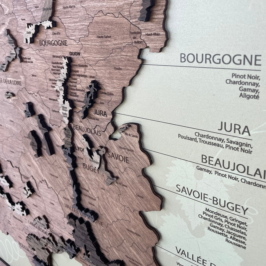
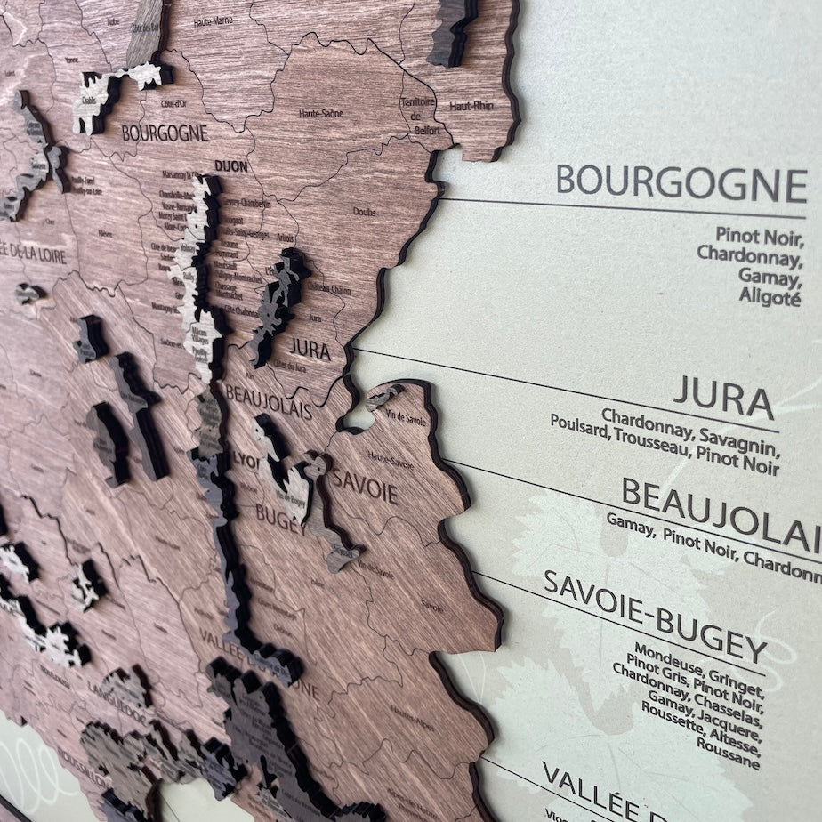
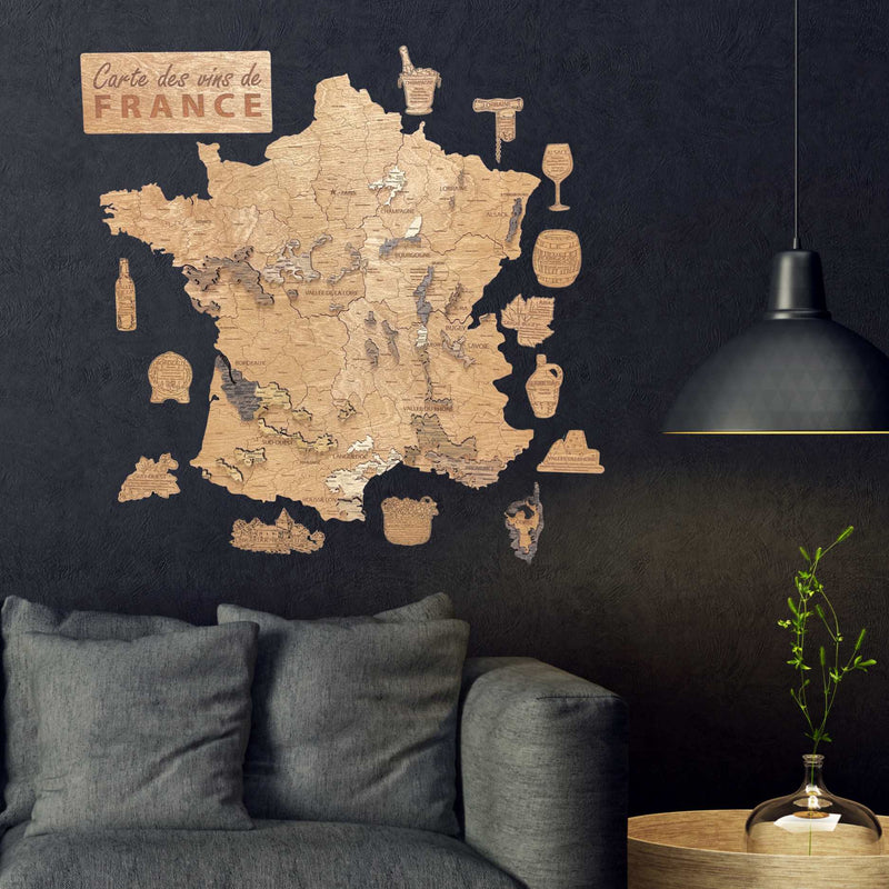
France by wine region – Champagne, Lorraine, Alsace, Bourgogne, Jura, Savoie-Bugey, Beaujolais, the Vallée du Rhône, Provence-Corse, Languedoc-Roussillon, the Sud-Ouest, Bordeaux and the Vallée de la Loire – each named with its grape varieties, and the vineyards raised on the base in paler and darker tones, so that Bordeaux, the Loire, Burgundy and the Rhône stand off the wood. Under them the départements, the towns and the wine villages are engraved: Volnay, Pommard and Meursault, the Médoc, Graves and Entre-Deux-Mers.
Two of them are framed panels that arrive assembled and hang from the fixing built into the back, one on a cool cream ground in dark walnut and one on warm parchment in light oak. The third has no background at all: the country and a separate engraved badge for each wine region, shaped like an ice bucket, a barrel or a corkscrew, mounted straight onto the wall. All three are in our Wine Maps collection with their Italian cousins.
What do the regional maps show?
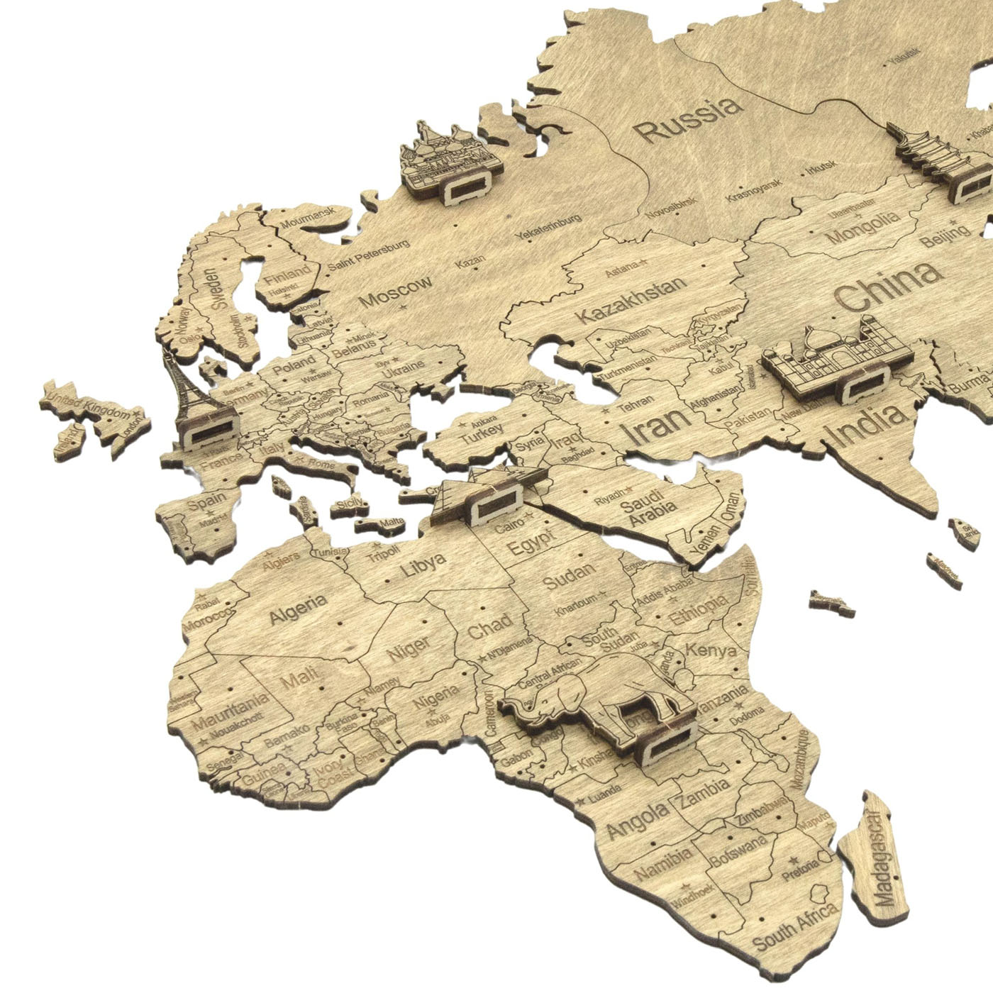
The thirteen regions, Corsica included, cut as separate pieces, each in its own shade, with the départements engraved inside them – their boundaries drawn as fine lines and their names set within – and the towns named: not only Paris, Lyon and Marseille but Alençon, Cholet and Chartres. On the flat maps small wooden landmarks sit on the regions: Mont-Saint-Michel on Normandie, the Eiffel Tower on Paris, Chambord on Centre-Val de Loire, a sailing ship off Bretagne.
At 50 × 51 cm that level of detail is possible in a way it is not on a world map, where France is one shape. Here it is a hundred named places.
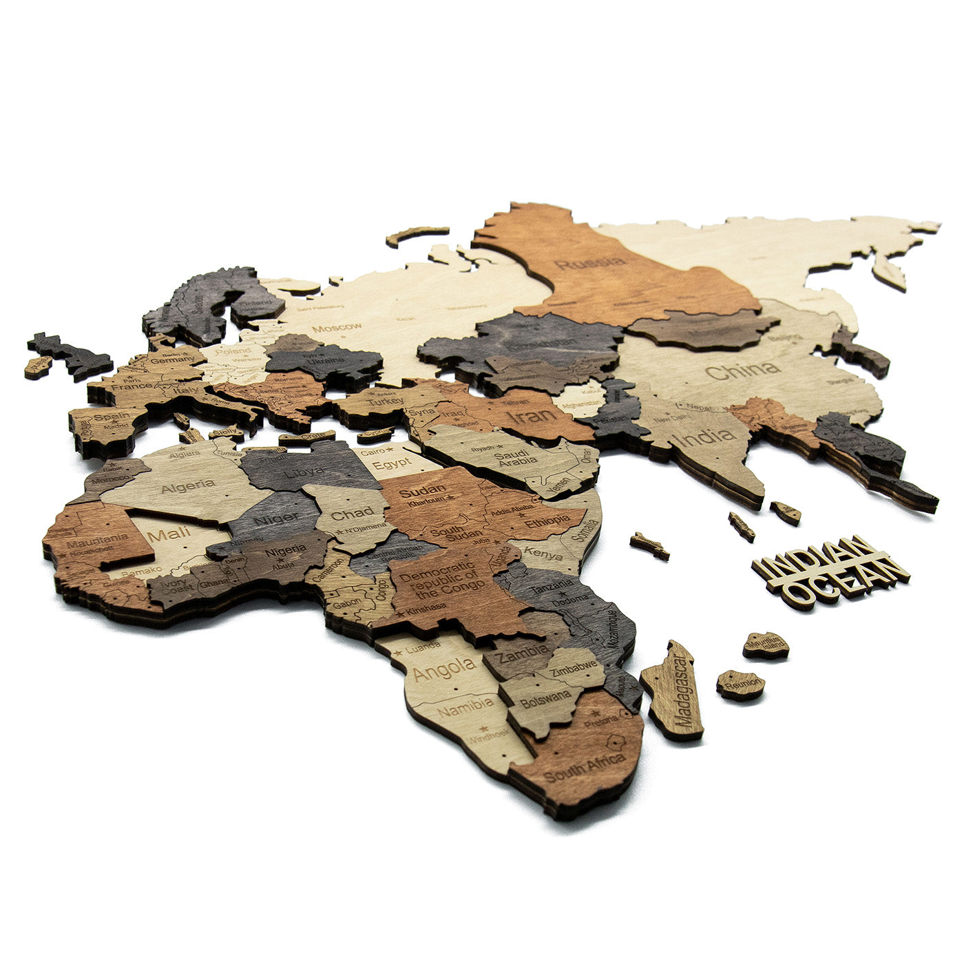
Three versions: Graphite in slate and grey, Multicolor in warm browns and creams, and a 3D Multicolor cut from stacked plies, so that each region stands off the wall and the boundaries between them are physical steps. The 3D map adds the rivers as engraved lines and leaves the landmark figures out.
Which map for which person?
The wine maps are for someone whose relationship with France runs through what they drink. The regional maps are for someone whose relationship runs through where they have been, where they are from, or where they go every August.
That second group is narrower than a world map's and more precise. With a world map you cannot get it wrong; here the person either has a connection to France or does not, and if they do, the detail is the whole point.
Where does each one hang?
The regional maps are small – 50 × 51 cm, roughly a large framed photograph – and flat enough to sit beside other things in a hallway or above a desk. The wine panels at 65 × 65 cm are square and want to be the object on their wall. The piece-by-piece wine map wants more space again, since the region badges spread outward from the country as far as you place them.
What these maps are not
Decorative rather than authoritative. Boundaries are simplified to what can be cut and read at this scale, and on the wine maps the smallest designations are grouped rather than drawn separately. A sommelier or a cartographer will find omissions.