


Wooden World Maps 3D
Filters
9 products




Continue exploring


Continents that stand off the wall
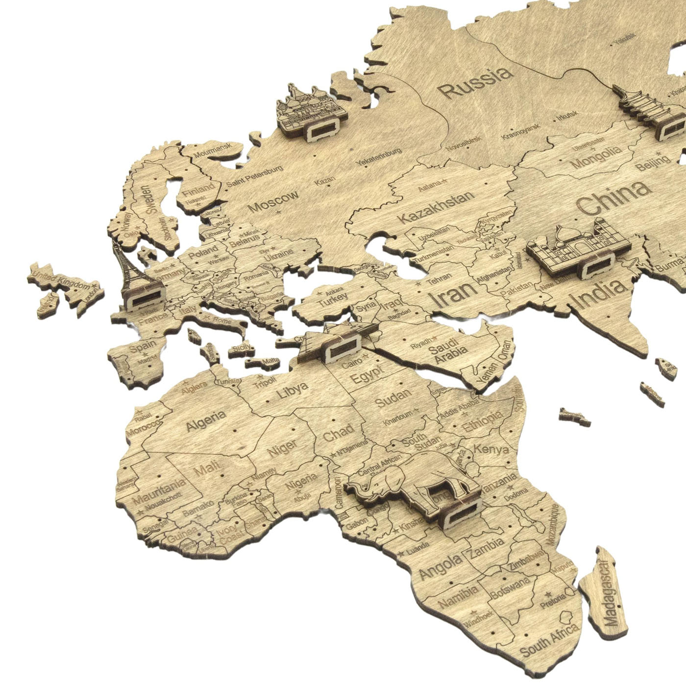
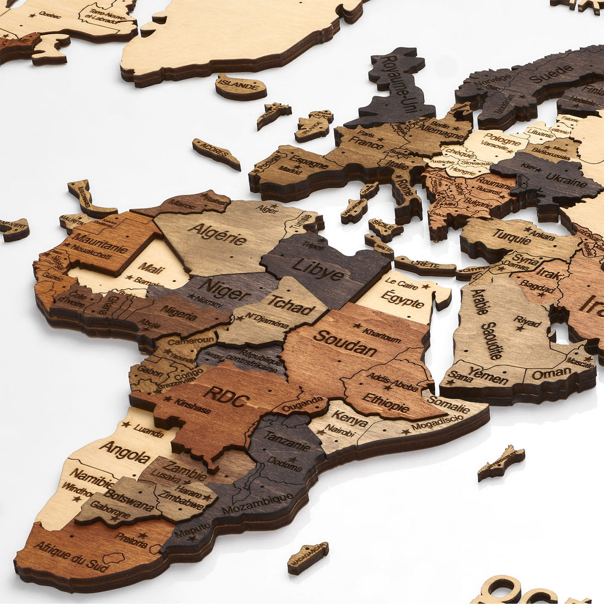
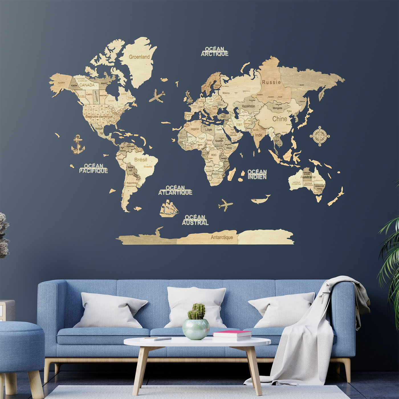
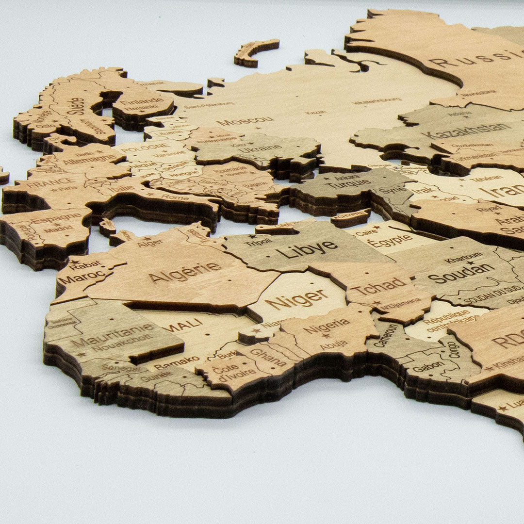
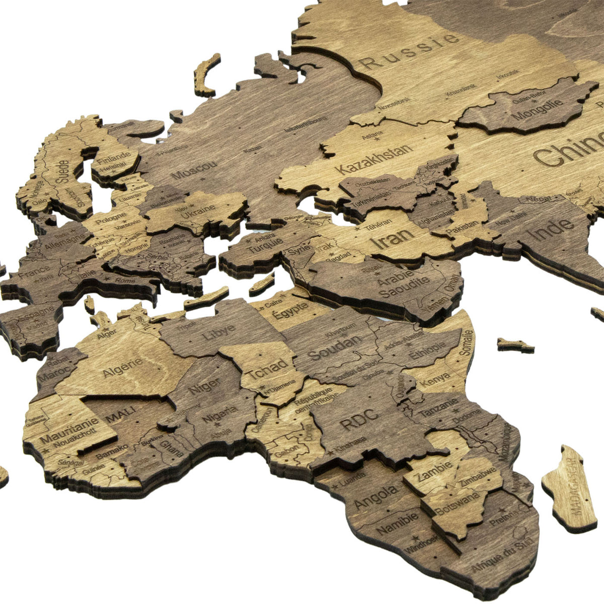
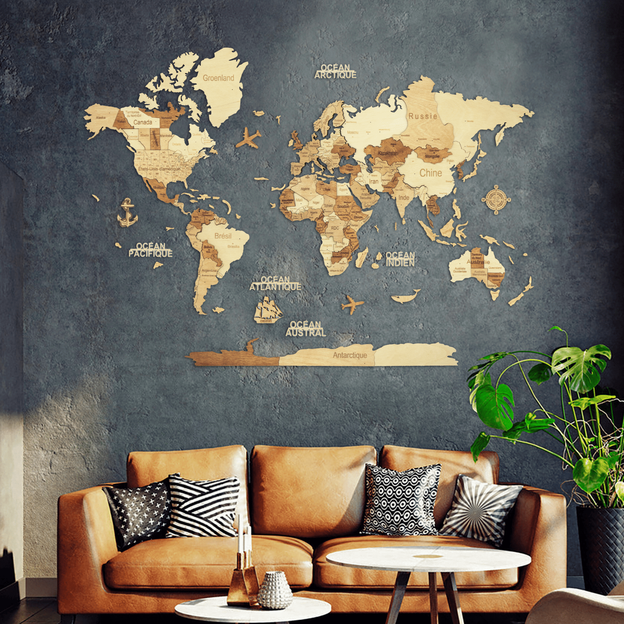
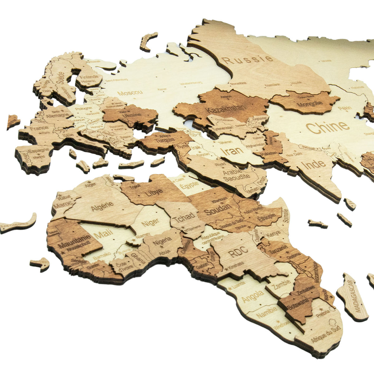
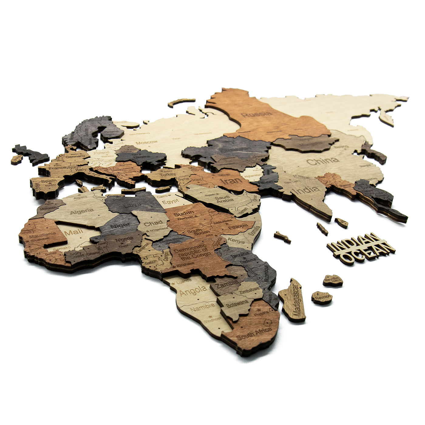
Each continent is cut from several plies of birch plywood, stacked so that the land sits proud of the surface and throws its own shadow. Mountain regions stand tallest. On the taped maps there is no backing board and no frame: the wall is the ocean, and the map is only the land.
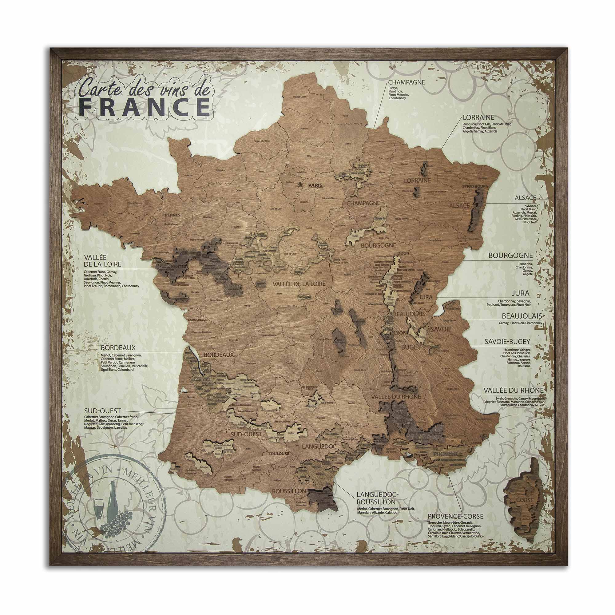
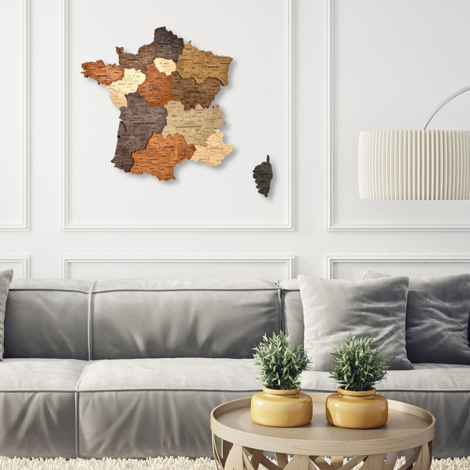
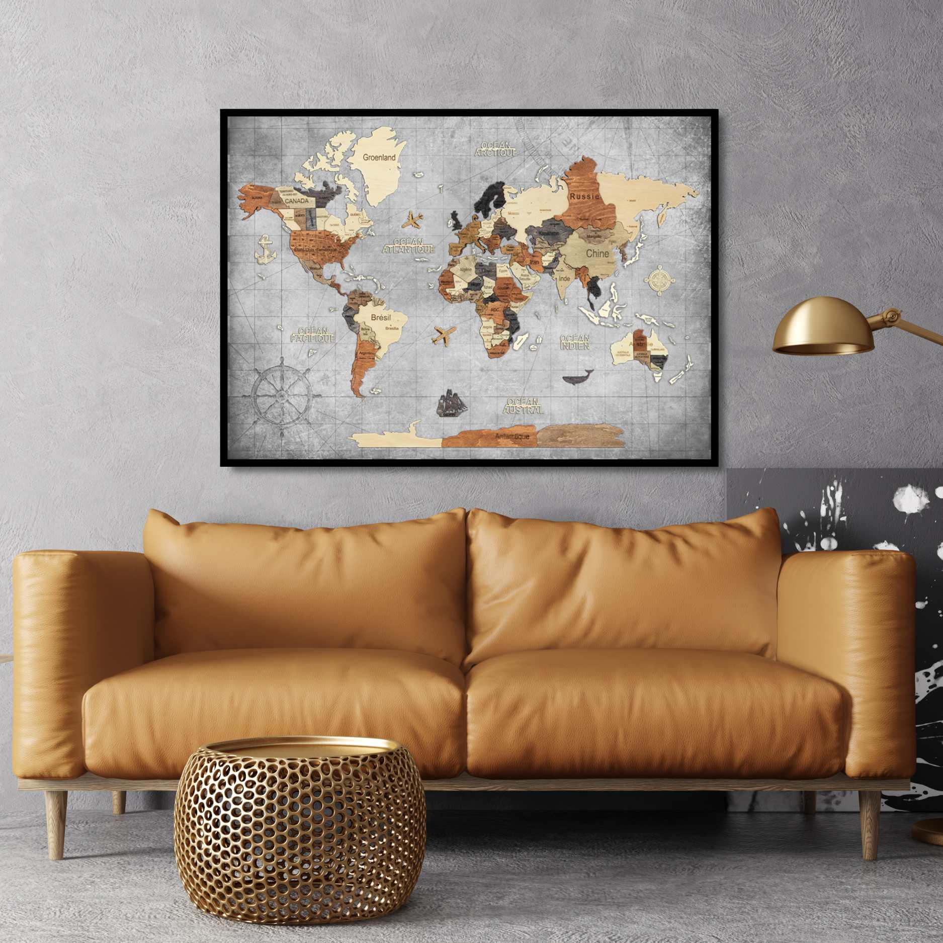
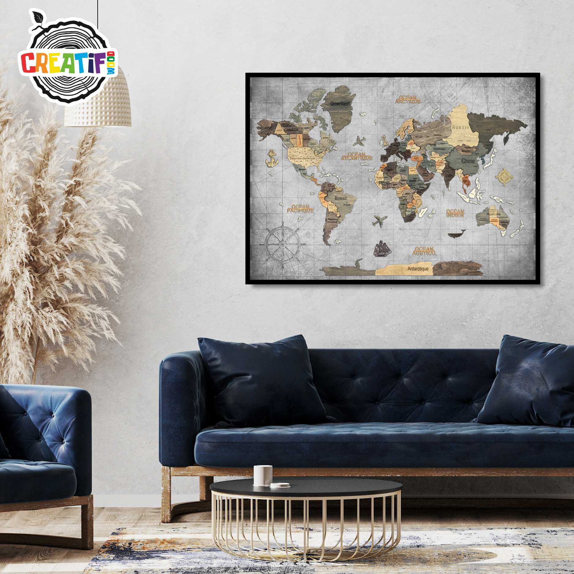
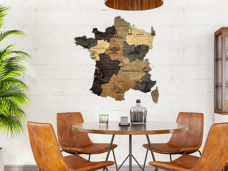
That is what separates a 3D map from a printed one. The relief changes as the light moves, so the map looks different in the morning than it does under a lamp at night. Two of the maps here come framed on a printed chart-grey ocean instead, and one is a map of France rather than the world – both are covered below.
Why six versions of the same map?
Because the finish changes more than the colour. The engraving, the layer construction and the country outlines are identical across all six; what changes is how the countries separate from each other, and that decides how the map behaves on a wall.
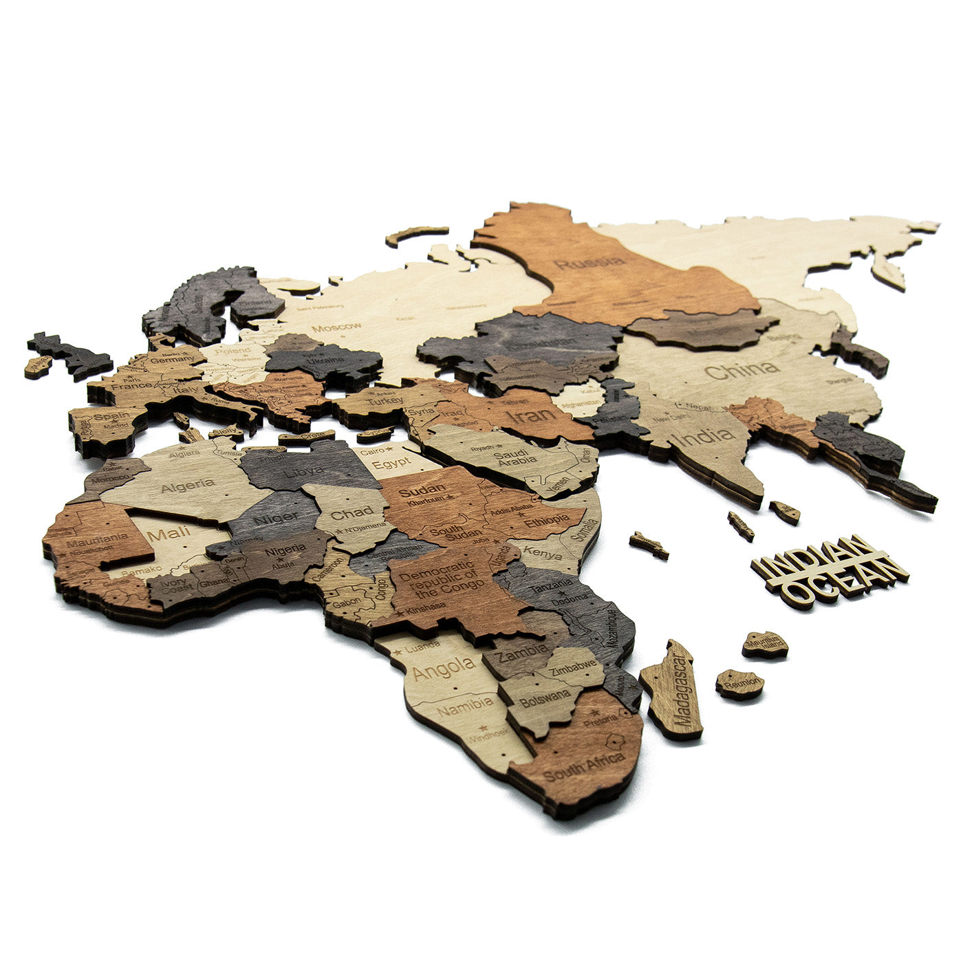
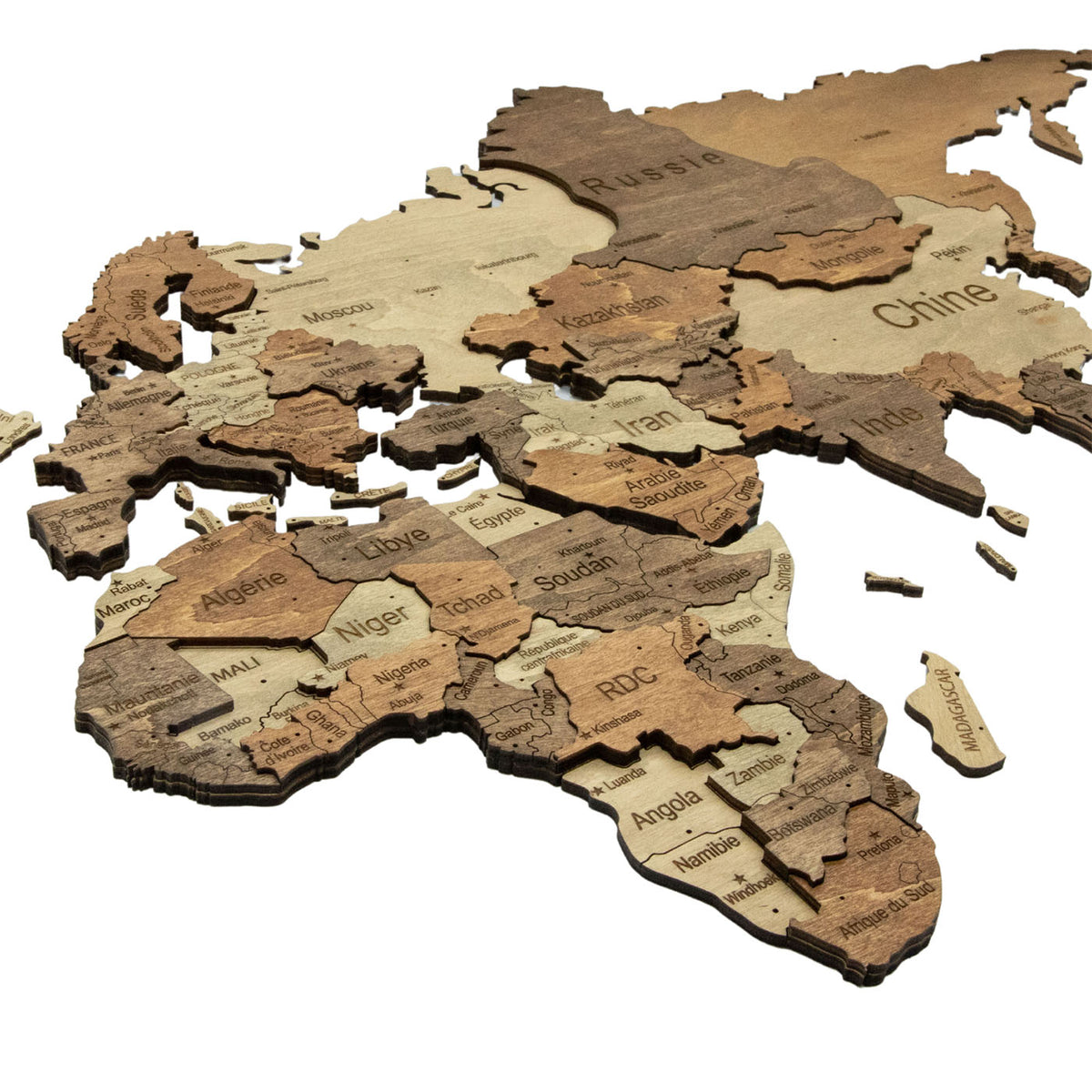
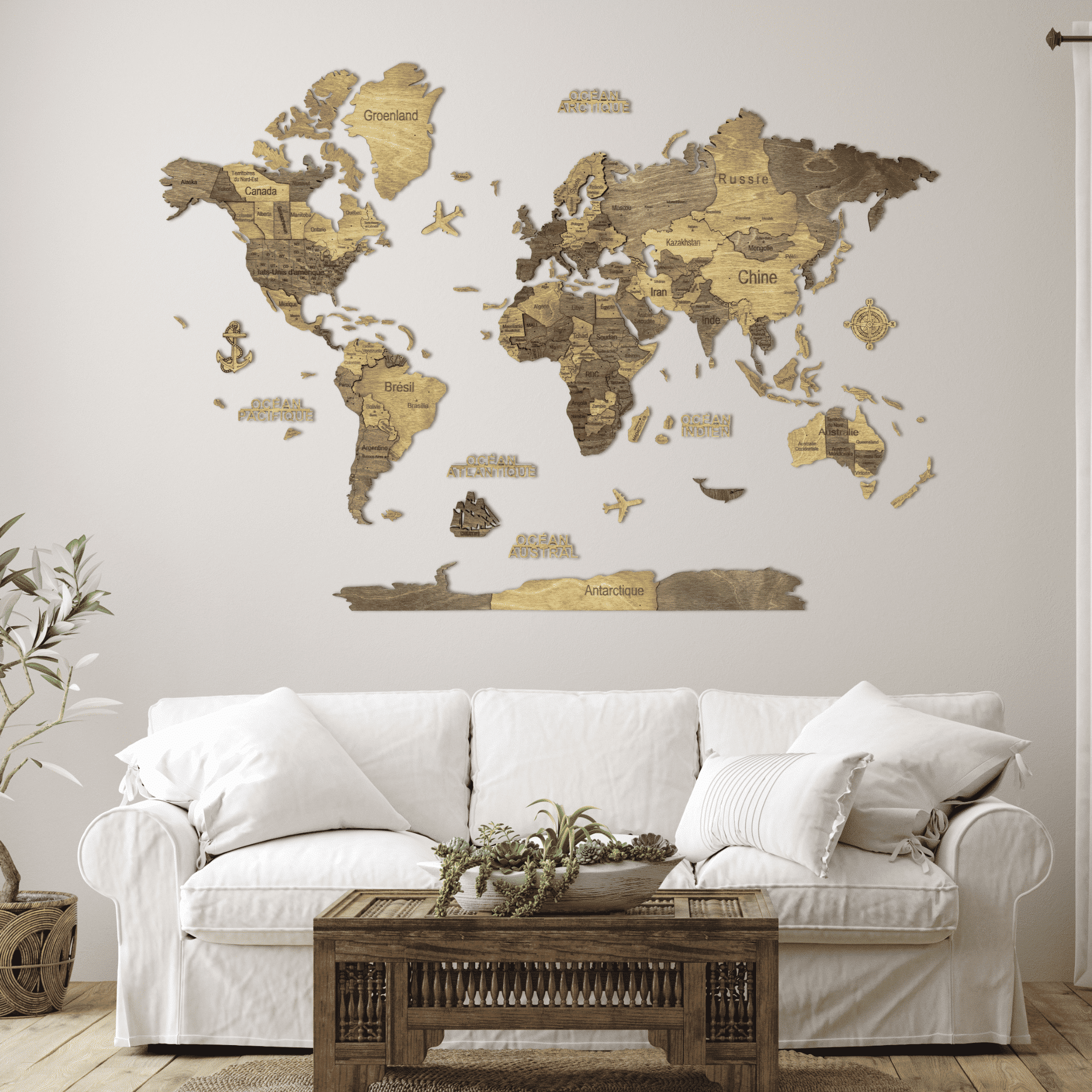
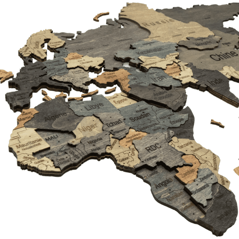
Light is the palest, closest to bare birch, where the shadow between layers does most of the work. Amber lays a honey stain over that same pale ground, so countries separate by tone as well as by depth. Dark runs many warm browns from cream to walnut, which keeps the borders legible from across a room. Chocolate narrows that to two alternating tones and reads as marquetry. Graphite steps furthest from the wood tones, slate and near-black with sand and copper countries scattered through. Multicolor is the only one where countries differ in hue as well as depth, which makes it the easiest to read as a map.
Which finish suits which room?
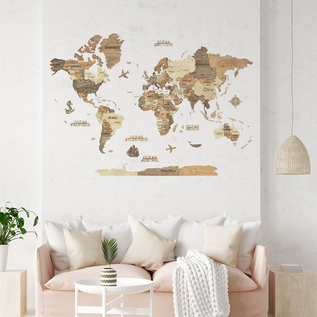
The pale finishes want light from the side more than they want a dark wall: on white in flat light they read as texture, lit from one side they read as an object. The dark finishes carry a wall on their own and need it plain. Graphite in particular suits rooms that already have wood in them and cannot take more.
Multicolor is the one to choose if the map will be used rather than looked at: pointing at countries, tracing routes, explaining where somewhere is.
What is engraved on the map?
Country names and borders, capitals marked with a star, US states, Canadian provinces and Australian states, cut individually into each piece. On the pale countries the lettering reads from across a room; on the darker ones it is quieter and asks you to come closer.
The six world maps are offered with English or French lettering, chosen on the product page; everything else about the map is identical. The map of France is engraved in French only.
How big is a wooden world map on a real wall?
The world maps run from one metre across to two metres, with an 80 cm size on Multicolor only. A rectangle grows in both directions at once, so the step from M to L is larger than the numbers suggest: the L covers more than twice the wall of the M, and the XL four times.
The two framed panels are 90 and 110 cm wide, and the map of France 50 cm, roughly the size of a large framed photograph. Measure the space before choosing. A map that is too small for its wall looks lost in a way that a map slightly too large never does.
Do you need to drill?
No. The continents go up on double-sided tape, piece by piece, positioned with the paper template in the box, so nothing is drilled and nothing is permanent. Taking a map down again needs a hairdryer to loosen the tape, and fresh tape to put it back up elsewhere.
Allow a few hours. It is closer to hanging wallpaper than to hanging a picture, and a second pair of hands helps. The framed panels skip all of this: they arrive assembled and hang from a single hook.
Is it a decorative object or an accurate map?
A decorative object. At this scale small countries and island groups are simplified or left out and coastlines are smoothed. If you need geographic precision, a printed map serves better.