



Wooden World Maps 2D
Filters
5 products





Continue exploring

One layer, and the wall does the rest
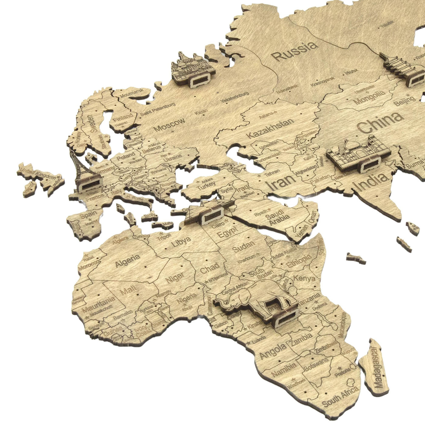
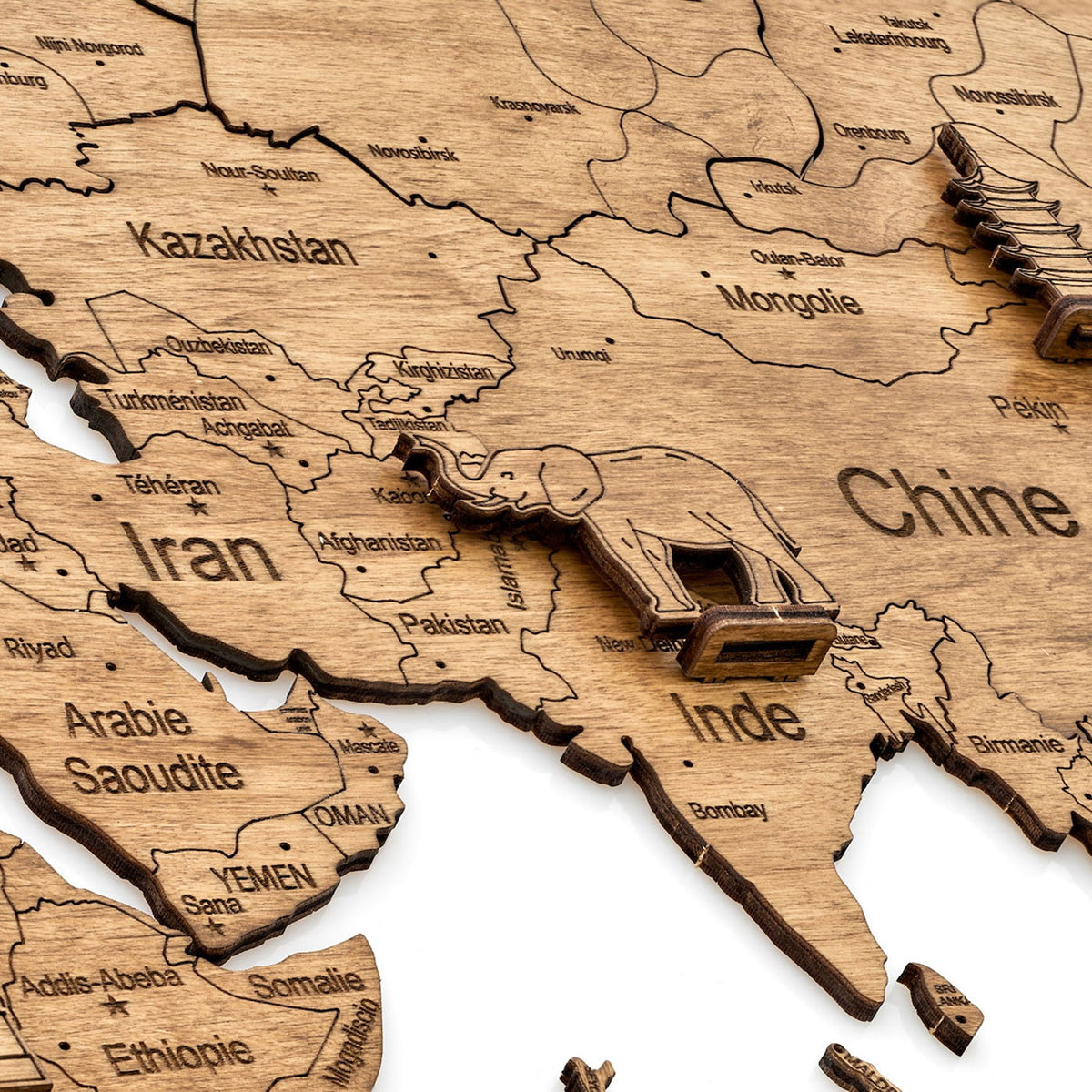
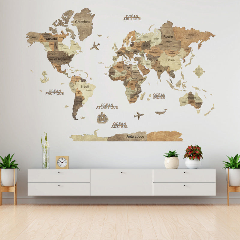
These are cut from a single 4 mm sheet rather than stacked from several, so the continents lie almost flat against the wall. There is no relief and almost no shadow, which changes what the map needs from the surface behind it.
On a relief map, shadow separates the land from the wall. Here the wall colour does that job, and it is the one decision that determines whether the map works.
Why does the wall matter more here than on a relief map?
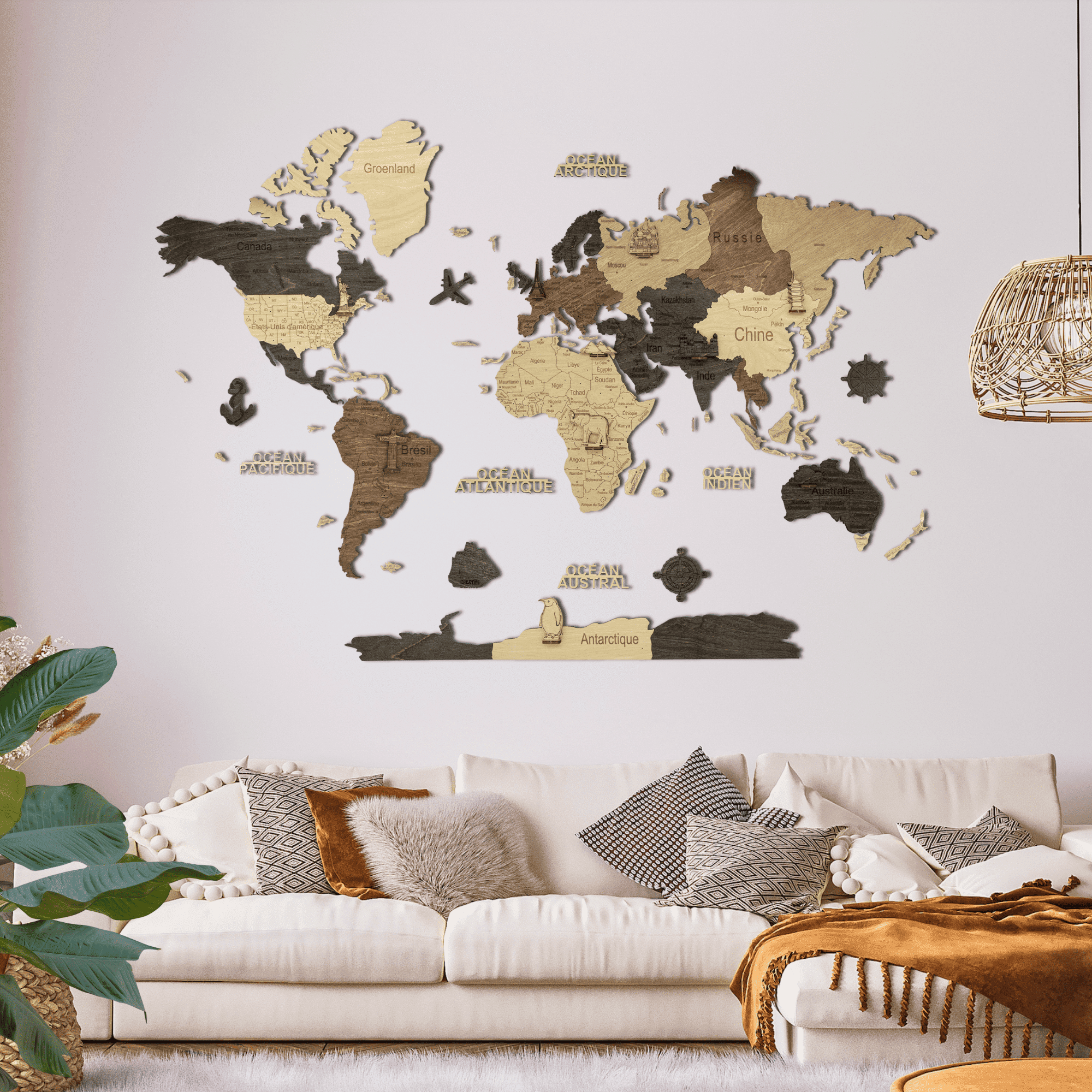
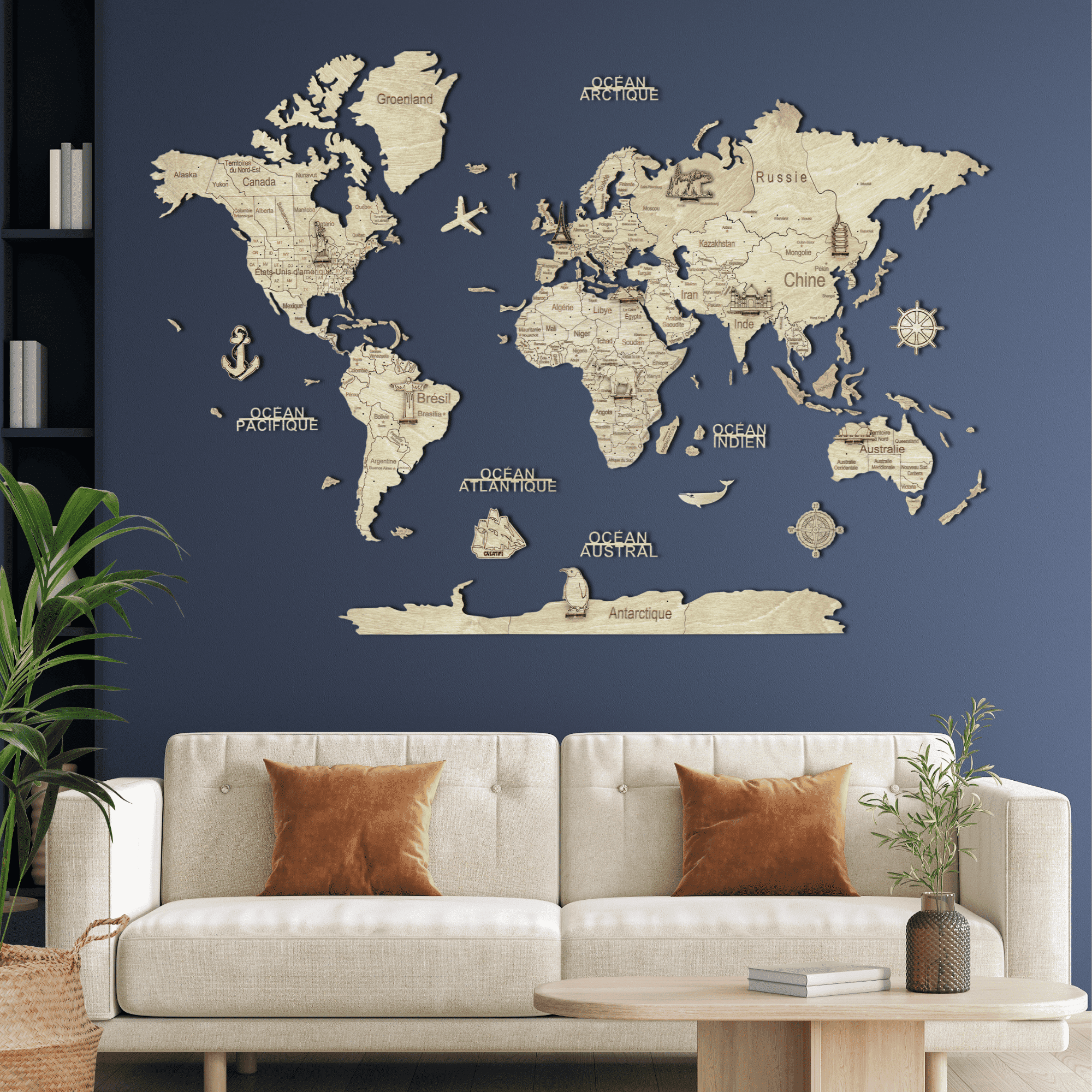
Because nothing else separates the wood from the surface behind it. Light is bare birch, and on white it is barely there until you are close enough to read it; on navy, charcoal or deep green it reads from across the room. Dark is one warm brown throughout and does the opposite: strong on white, cream or pale grey, lost on a dark wall.
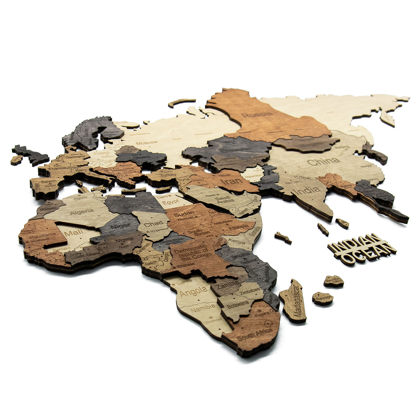
Multicolor sits between the two. Its four tones run from cream to dark walnut, so some part of the map contrasts with any wall, which makes it the safe choice if the wall might change.
What does a flat map do that a relief map cannot?
It goes where a raised map would be knocked. At 4 mm it projects almost nothing, so it suits a hallway, a stairwell or the wall beside a door, where people pass close. It is lighter to handle on the day you put it up, and it costs less than the relief map of the same size.
What you give up is the depth: the shadow lines, and the way a relief map changes as the light moves through the day. The engraving and the accessories are the same; the figures are a bonus of the flat map.
What is engraved, and in which language?
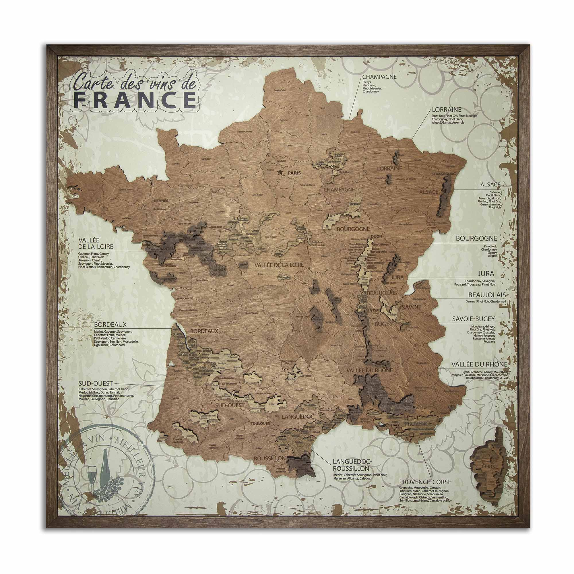
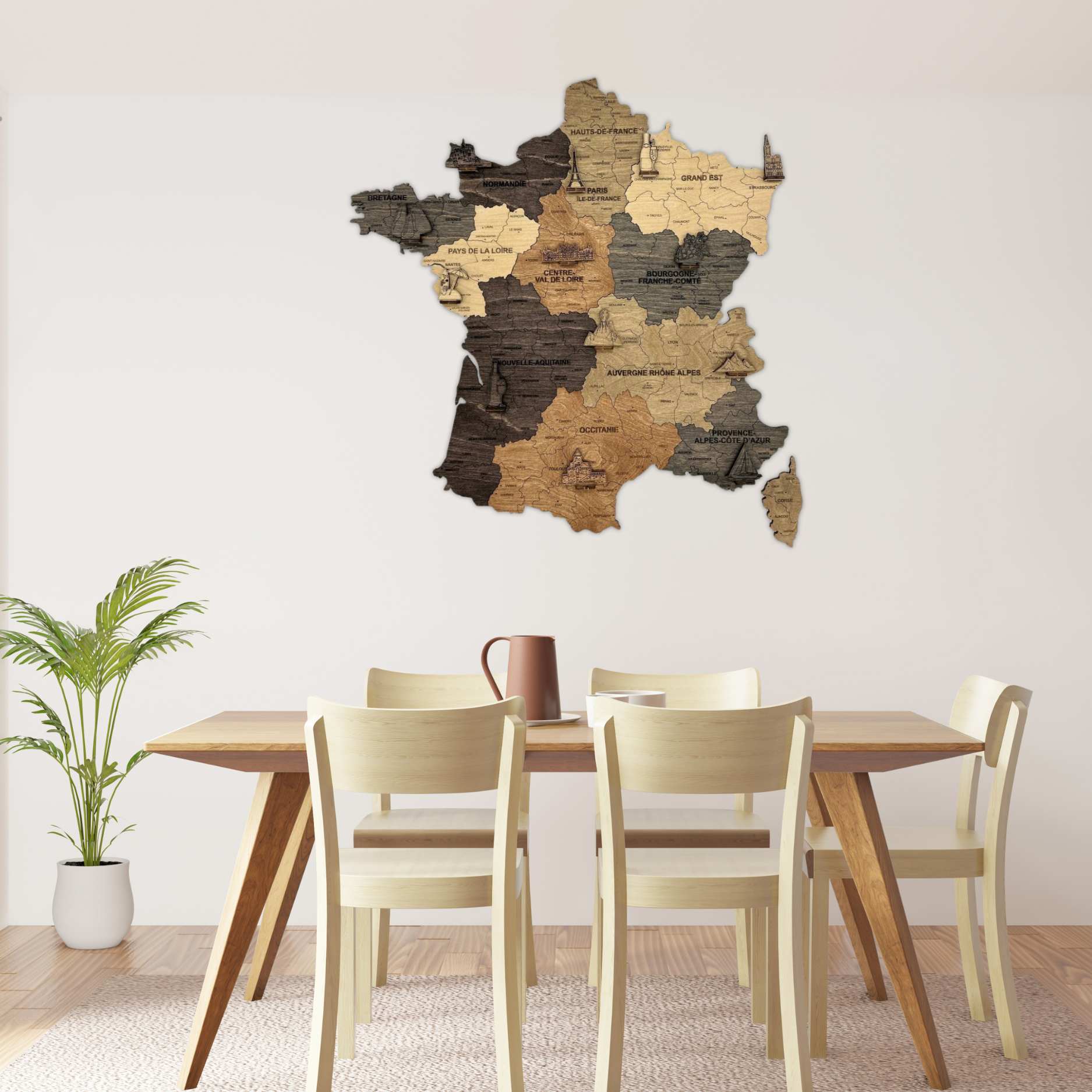
Country names and borders, capitals and major cities, US states, Canadian provinces and Australian states, cut individually into each piece. The world maps come with English or French lettering, chosen on the product page; the maps of France are engraved in French only.
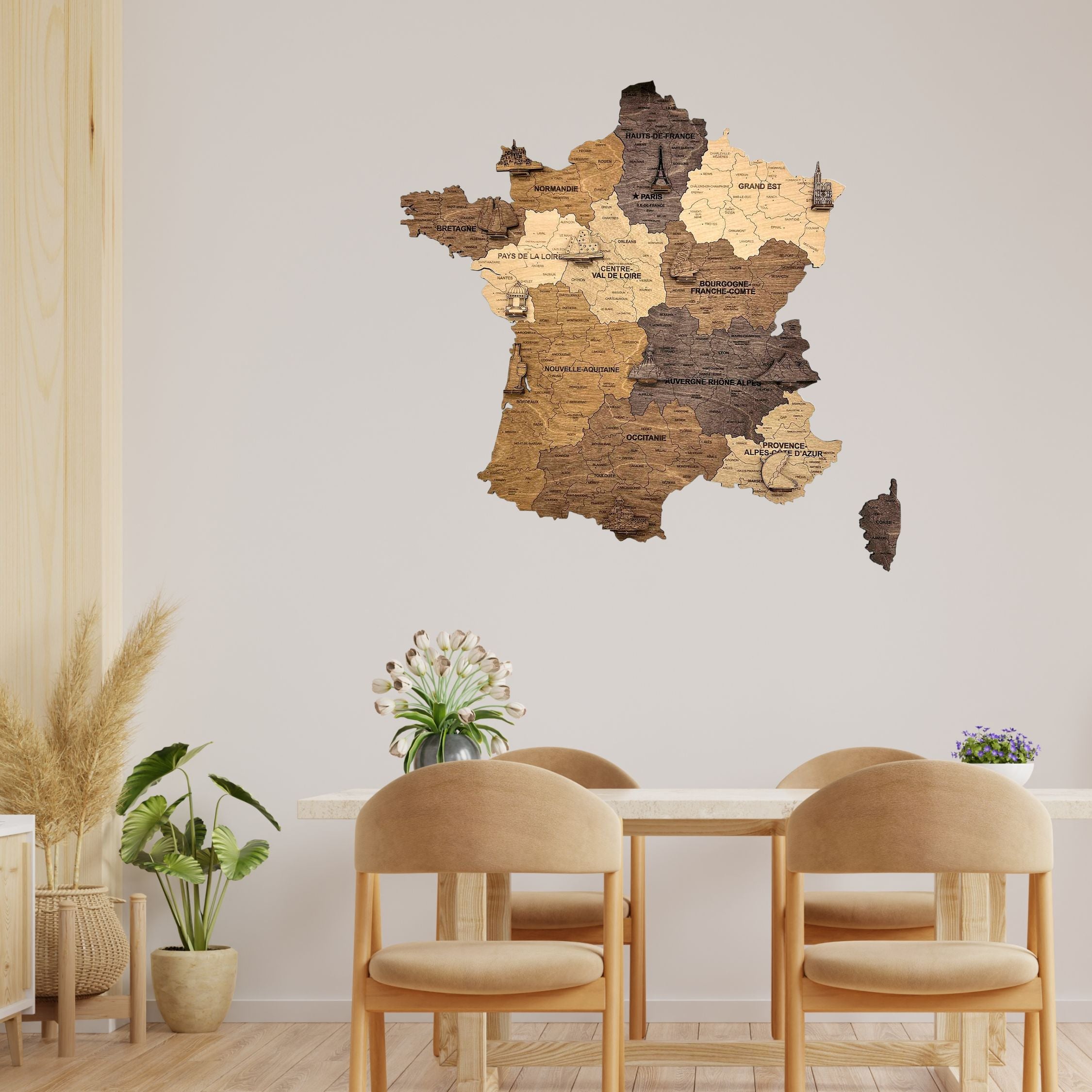
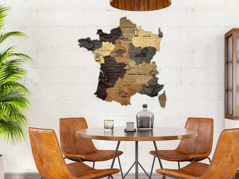
Each world map also brings a set of small figures to place where you like: the Statue of Liberty and Christ the Redeemer on the Americas, the Eiffel Tower on Paris, the pyramids on Egypt, the Taj Mahal on India, a pagoda on China, the Sydney Opera House on Australia, an elephant on Africa, a penguin on Antarctica, with a ship, two planes, a whale, an anchor and a compass for the oceans. The maps of France carry their own landmarks, one on nearly every region.
What sizes are there?
The world maps run from 60 cm across to 150 cm. The smallest, the XS, exists only on the Dark finish and only in this range; it is the most compact world map we make and suits a hallway, a home office or the space above a desk. The maps of France are 50 cm wide, roughly a large framed photograph.
A rectangle grows in both directions at once, so the step from S to M adds far more wall than the numbers suggest. Measure before choosing.
Do you need to drill?
No. The pieces go up on double-sided tape, positioned with the two corner stencils in the box, so nothing is drilled and nothing is permanent. Allow a couple of hours for a world map, less for a map of France; taking a map down again needs a hairdryer to loosen the tape, and fresh tape to put it back up elsewhere. The full routine, stencils included, is on our installation page.
Is it a decorative object or an accurate map?
A decorative object. Small countries and island groups are simplified or omitted at this scale, and coastlines are smoothed. If you need geographic precision, a printed map serves better.