


Wooden World Maps


Filters
19 products

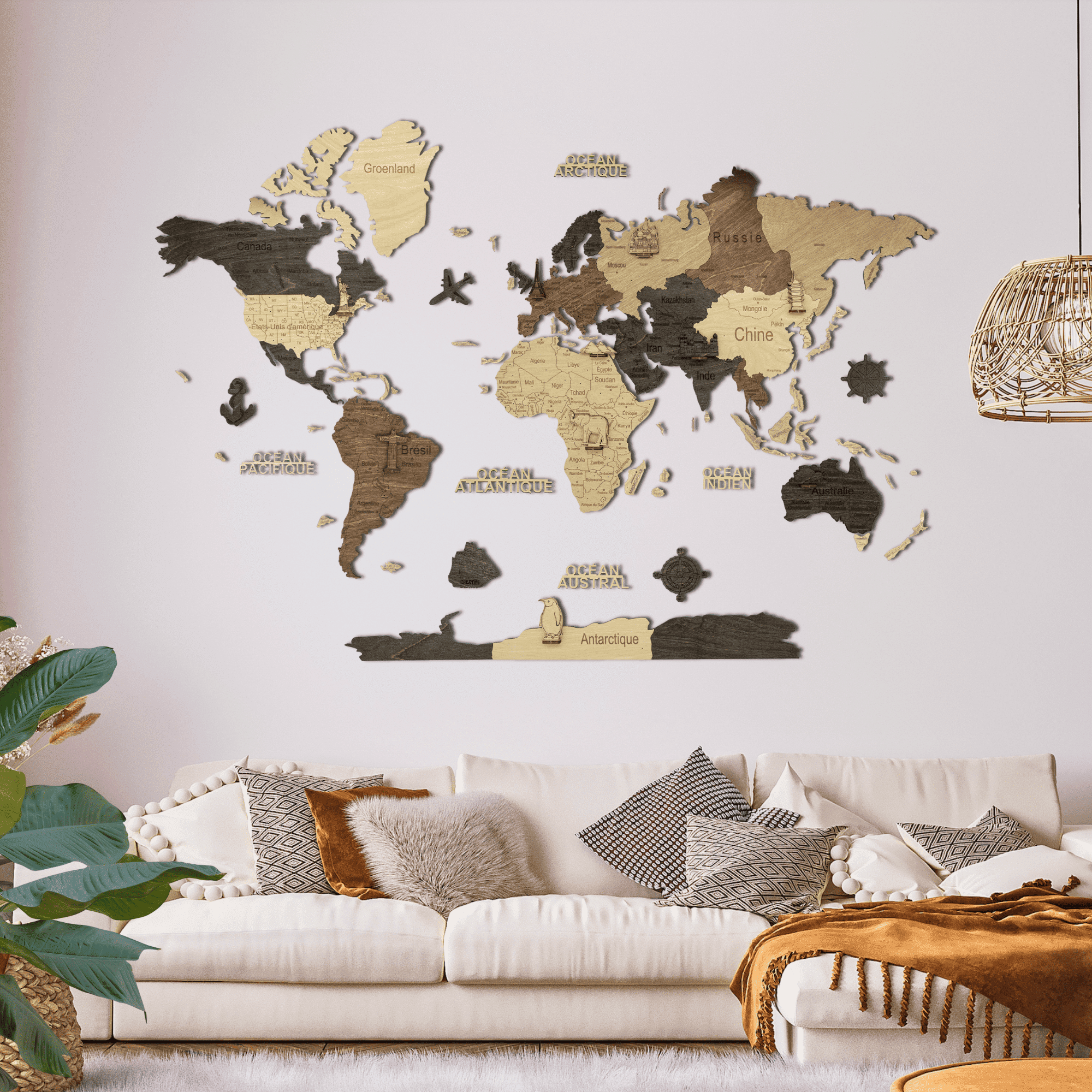

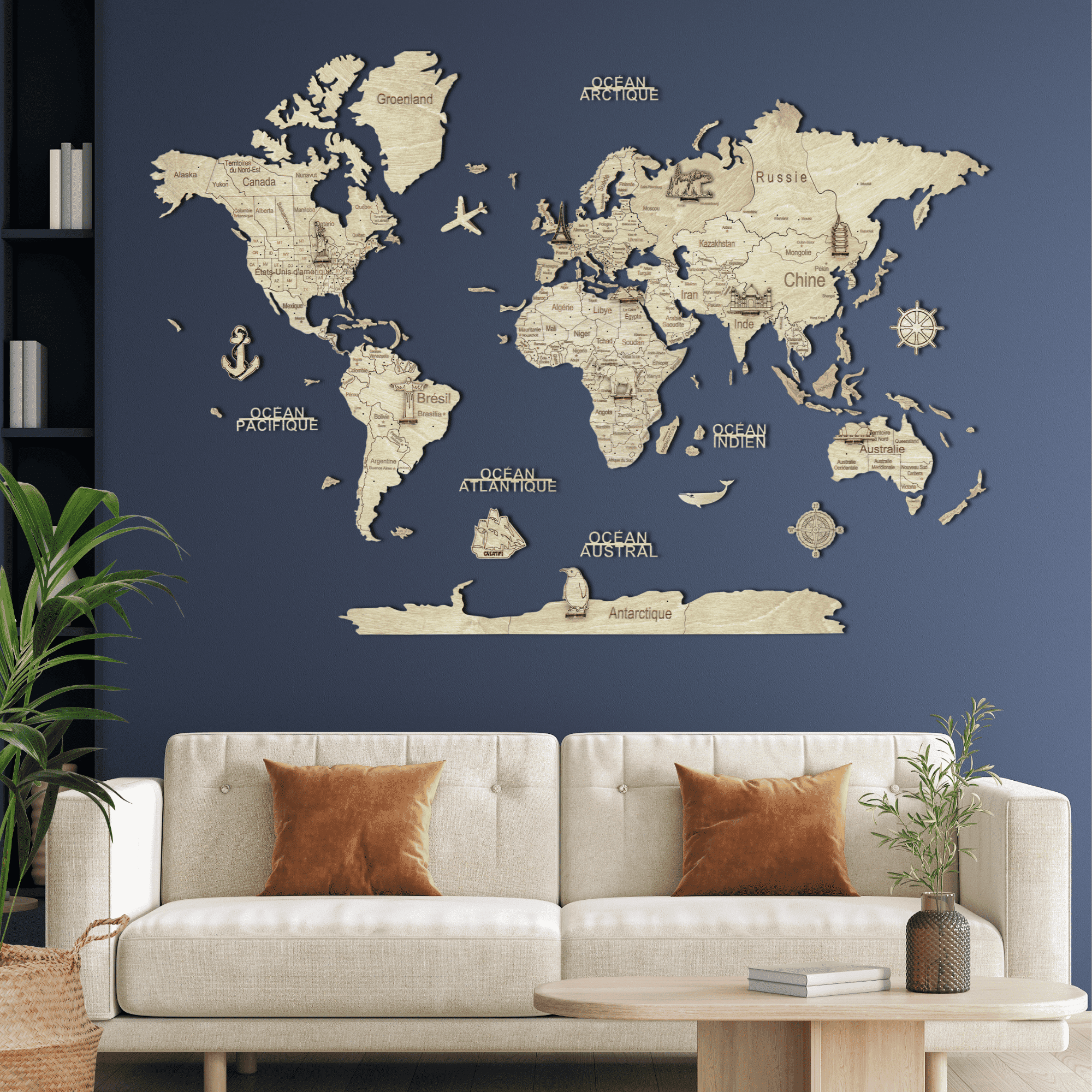






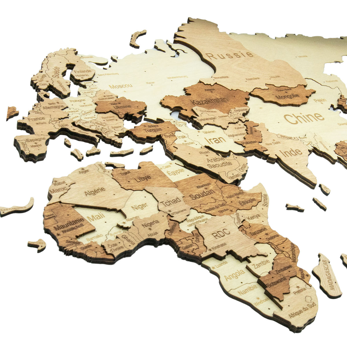
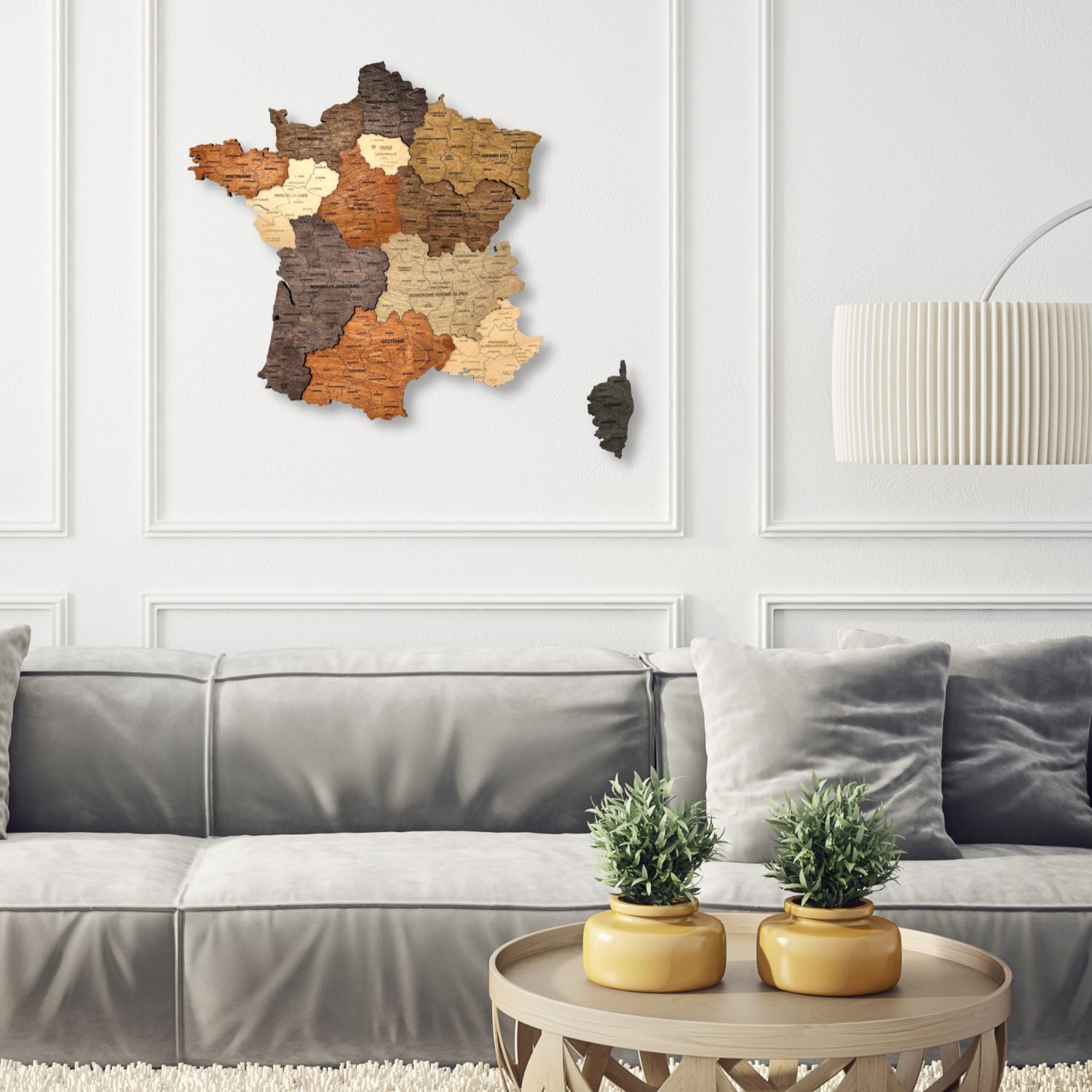

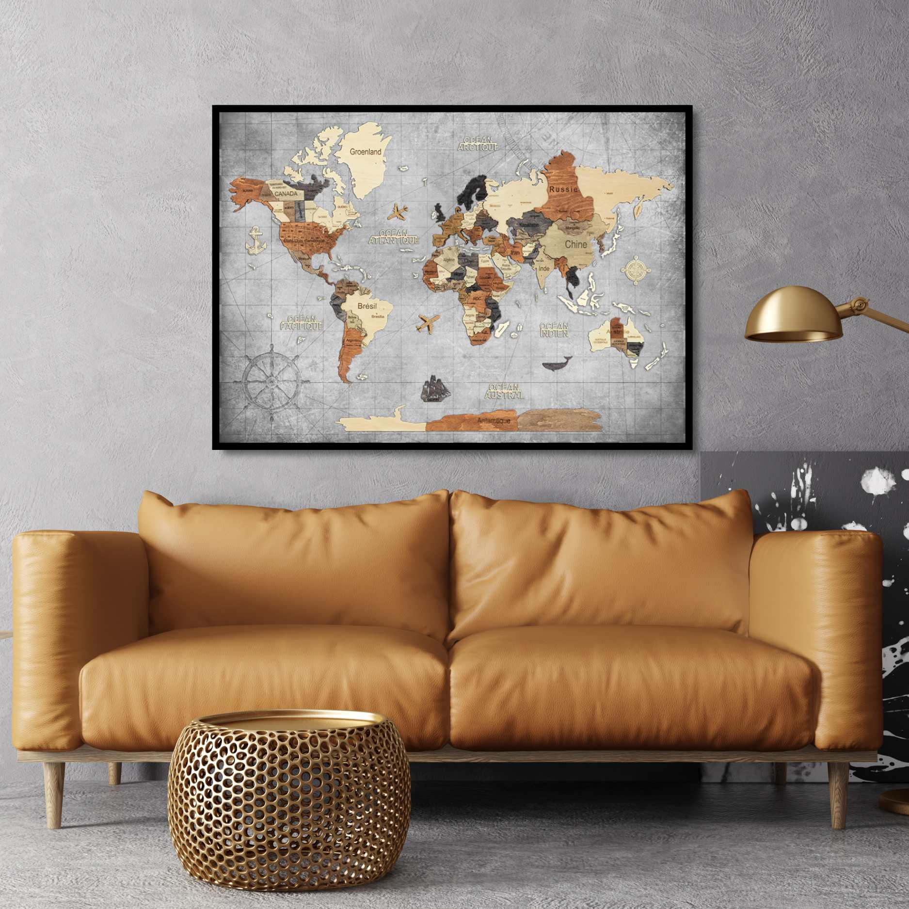
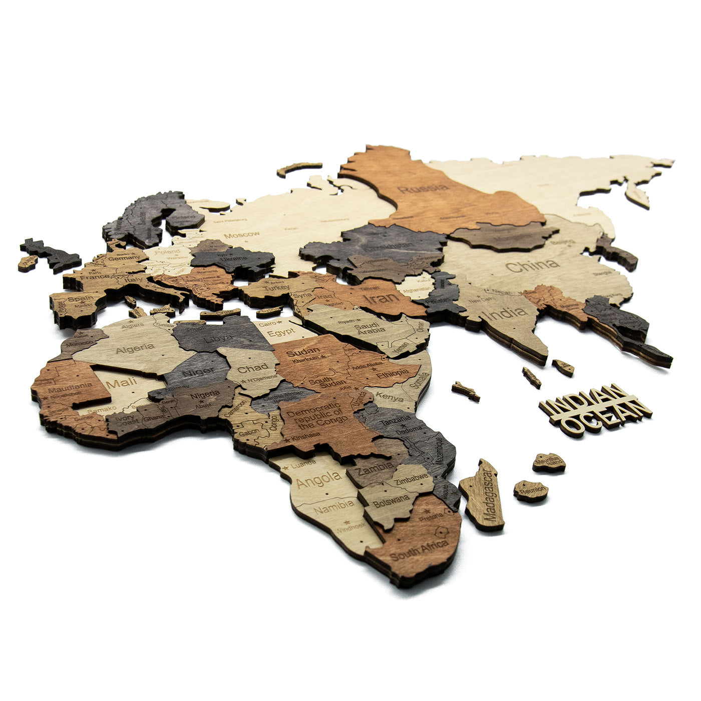

The first decision is depth, not colour
Every wooden world map we make comes in two kinds, and choosing between them matters more than choosing the finish.
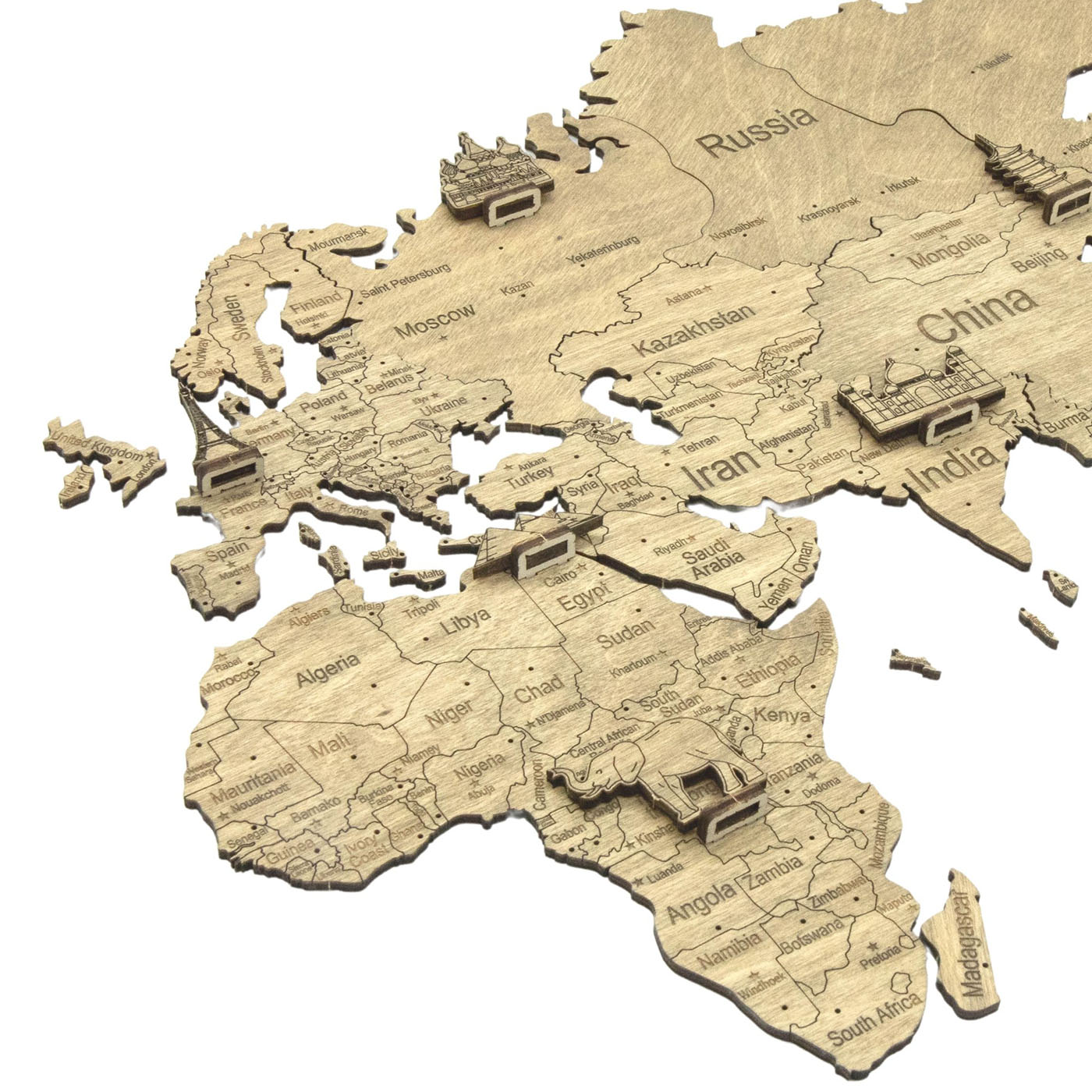
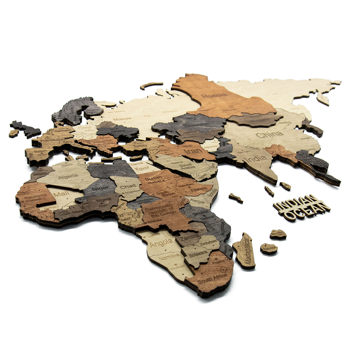
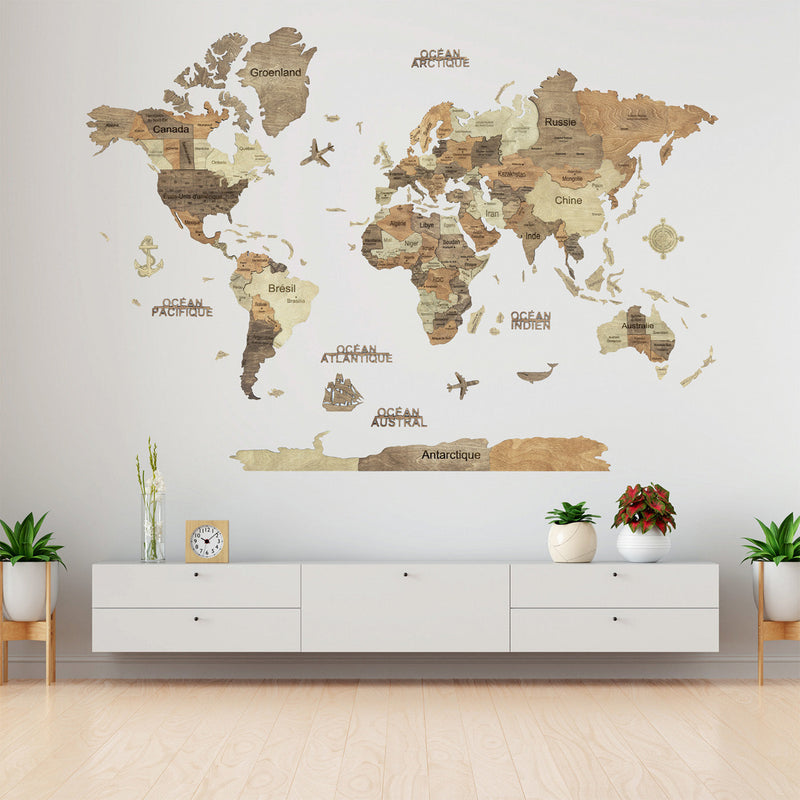
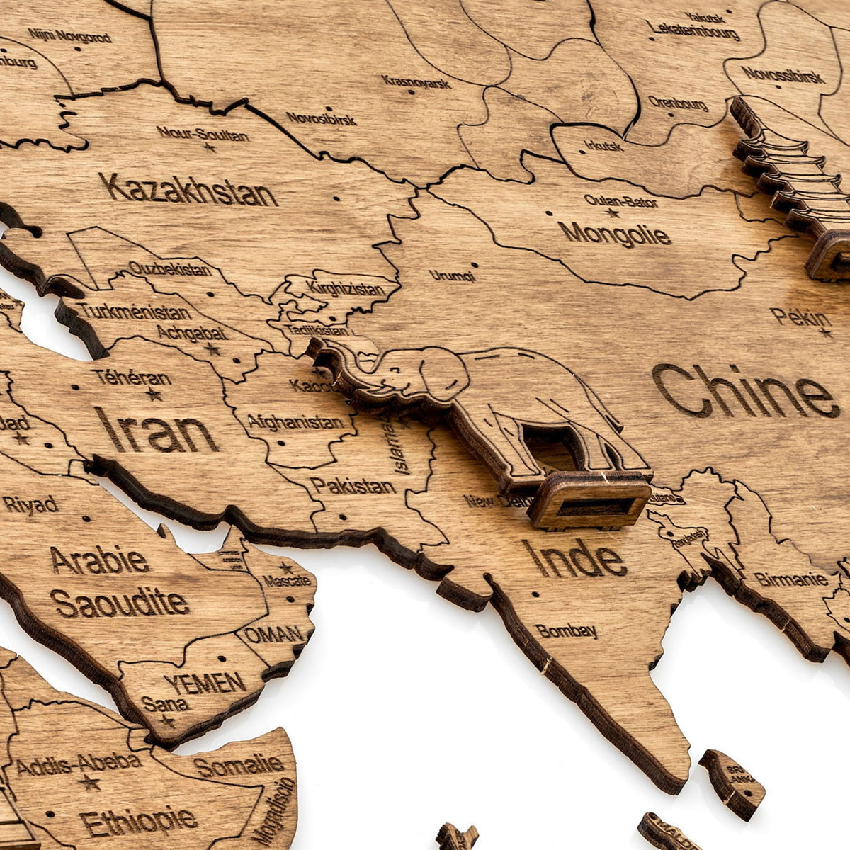
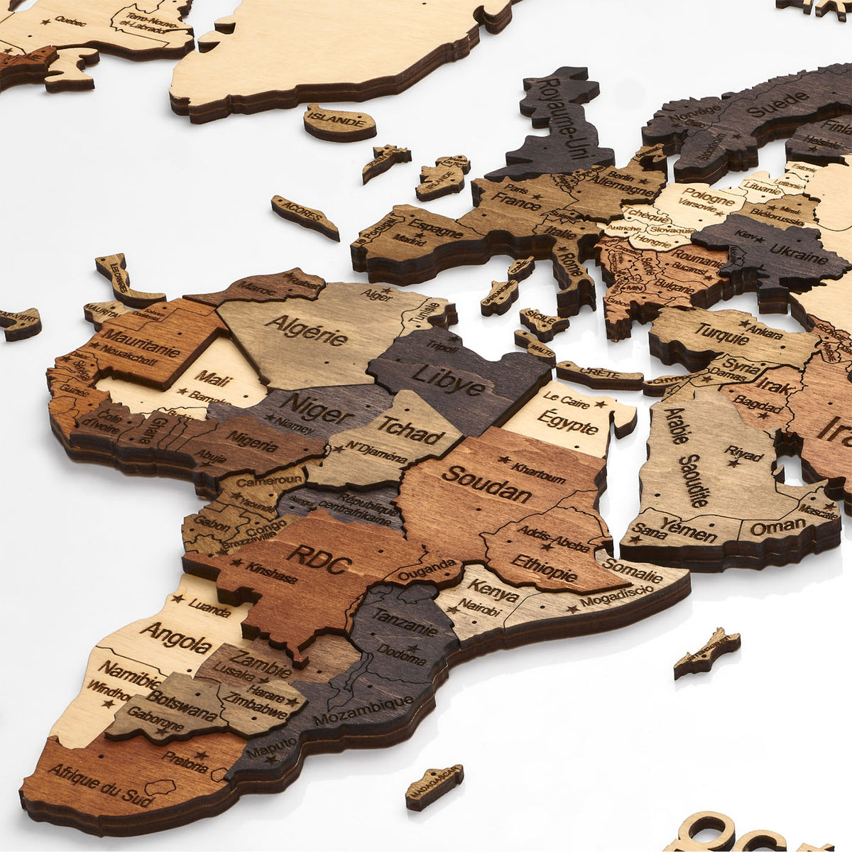
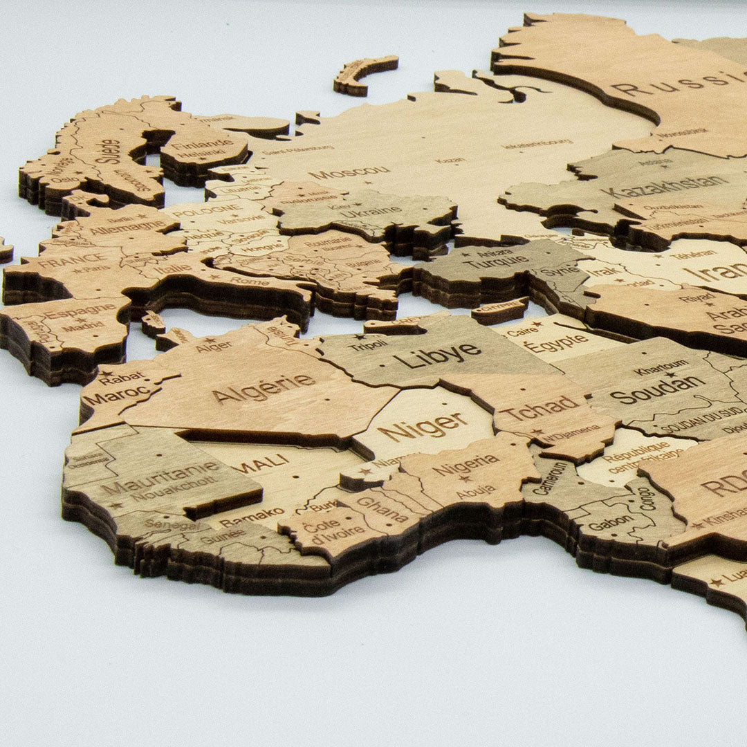
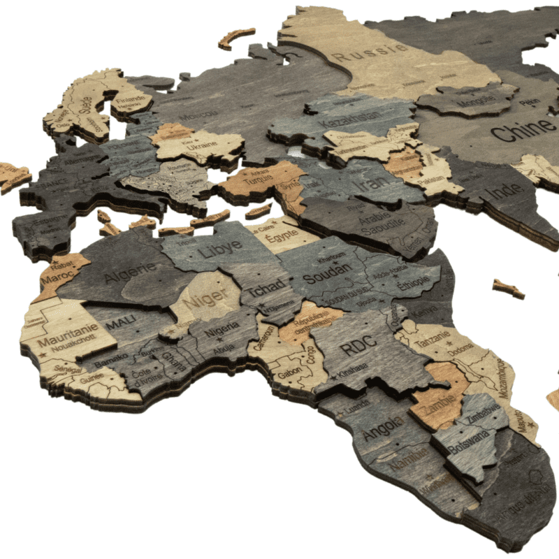
A 3D map is built from several plies of plywood stacked on top of each other, 4 to 9 mm deep, so the land stands off the wall and throws its own shadow. That shadow is what separates the continents from the surface behind them, and it changes through the day as the light moves.
A 2D map is a single layer of 4 mm plywood lying almost flat. There is no shadow, so the wall colour has to do the separating instead – and when it does, the map reads just as clearly for considerably less.
Which one for which wall?
Take the 3D map if the wall is a feature wall, the map will be lit from the side or from above, and there is room for something that projects. The relief is the reason to buy it and flat lighting wastes it.
Take the 2D map if it goes in a hallway, beside a door, or anywhere people pass close enough to catch a raised edge with a shoulder. Also take it if the budget matters: the 2D range starts at a size and a price the 3D range does not reach.
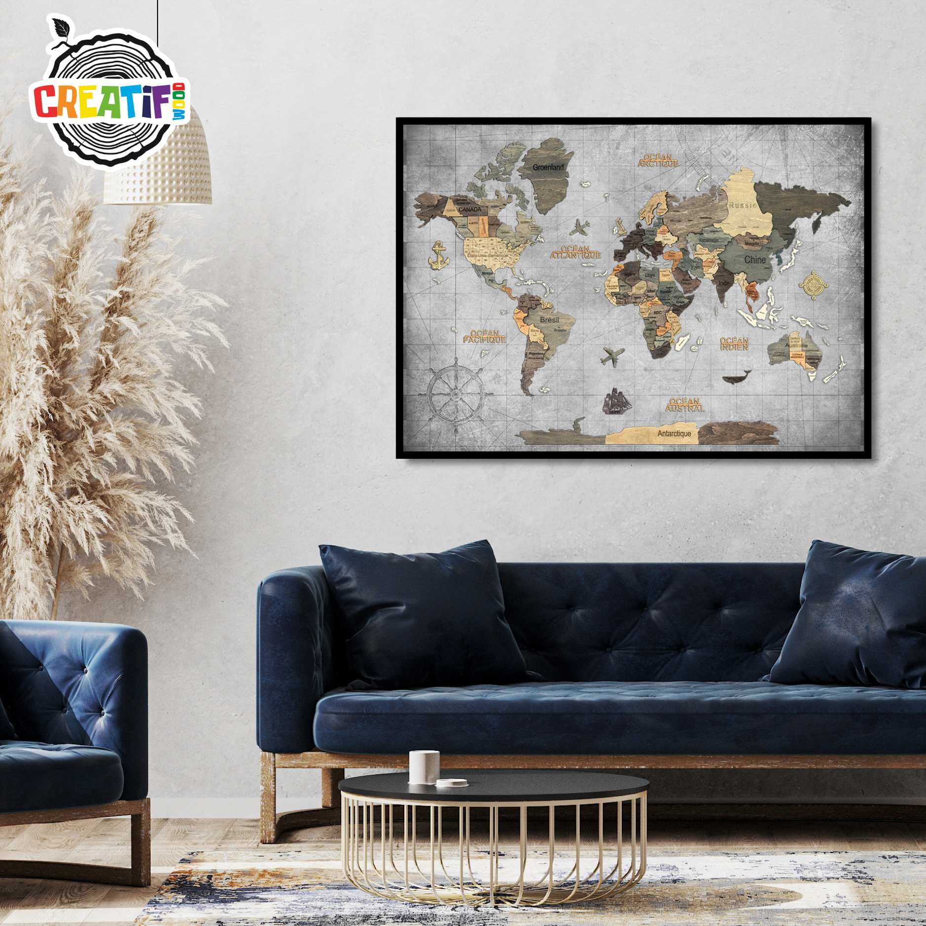
And if the wall will not take tape, or you want a map up this evening, the two framed panels arrive assembled on a printed chart-grey ocean inside a slim black frame and hang from one fixing.
What are the six finishes?
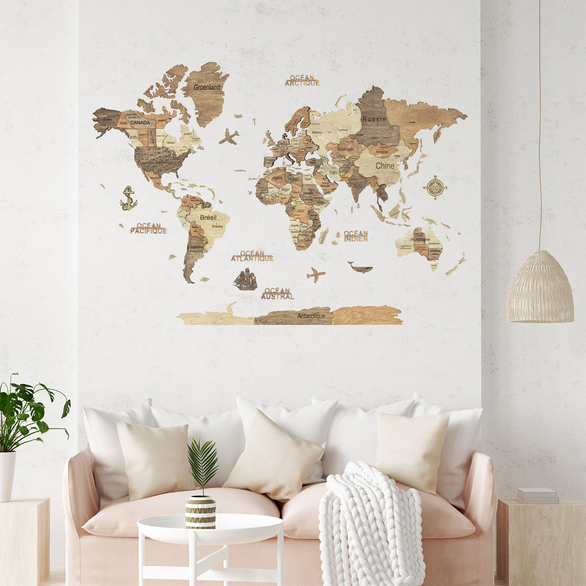
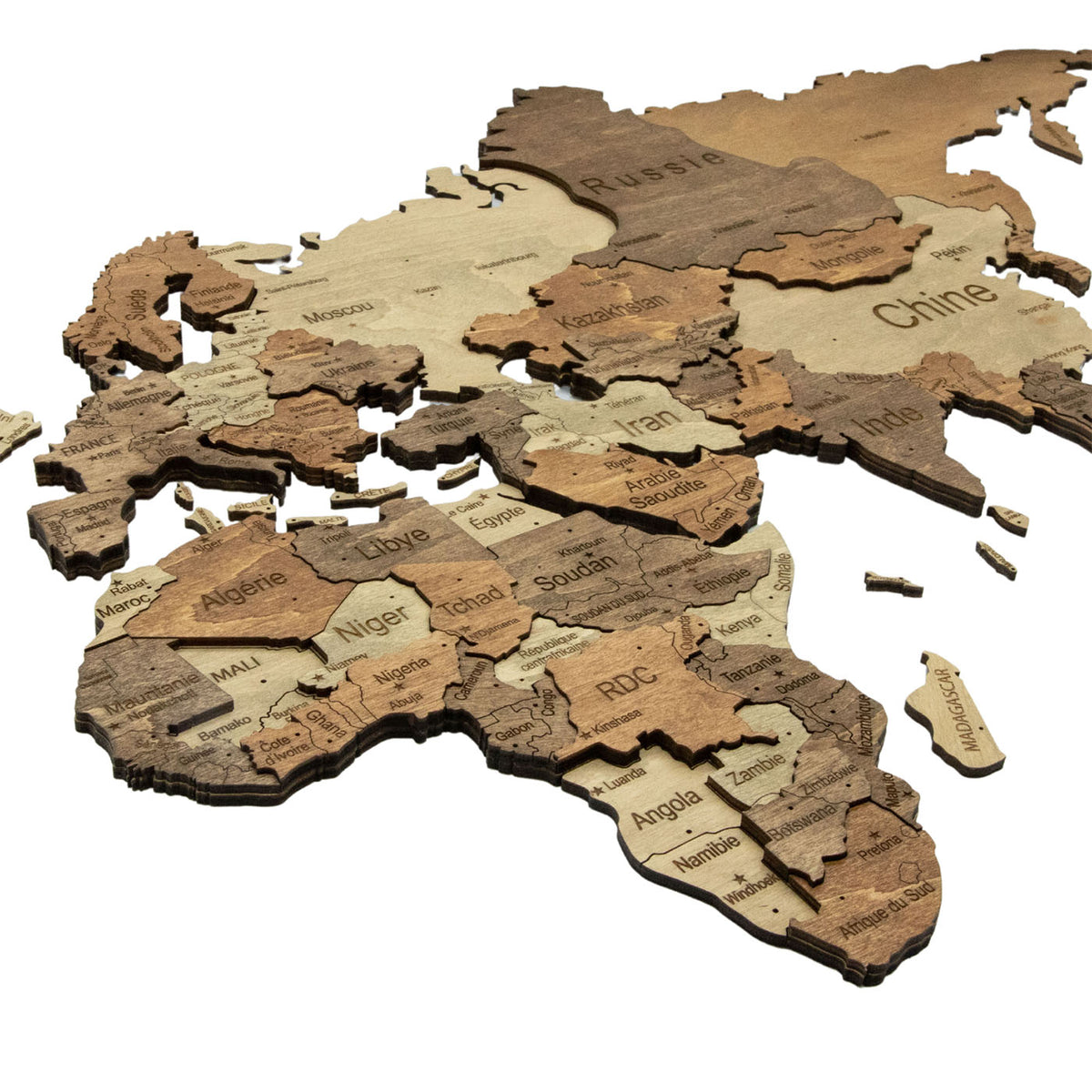
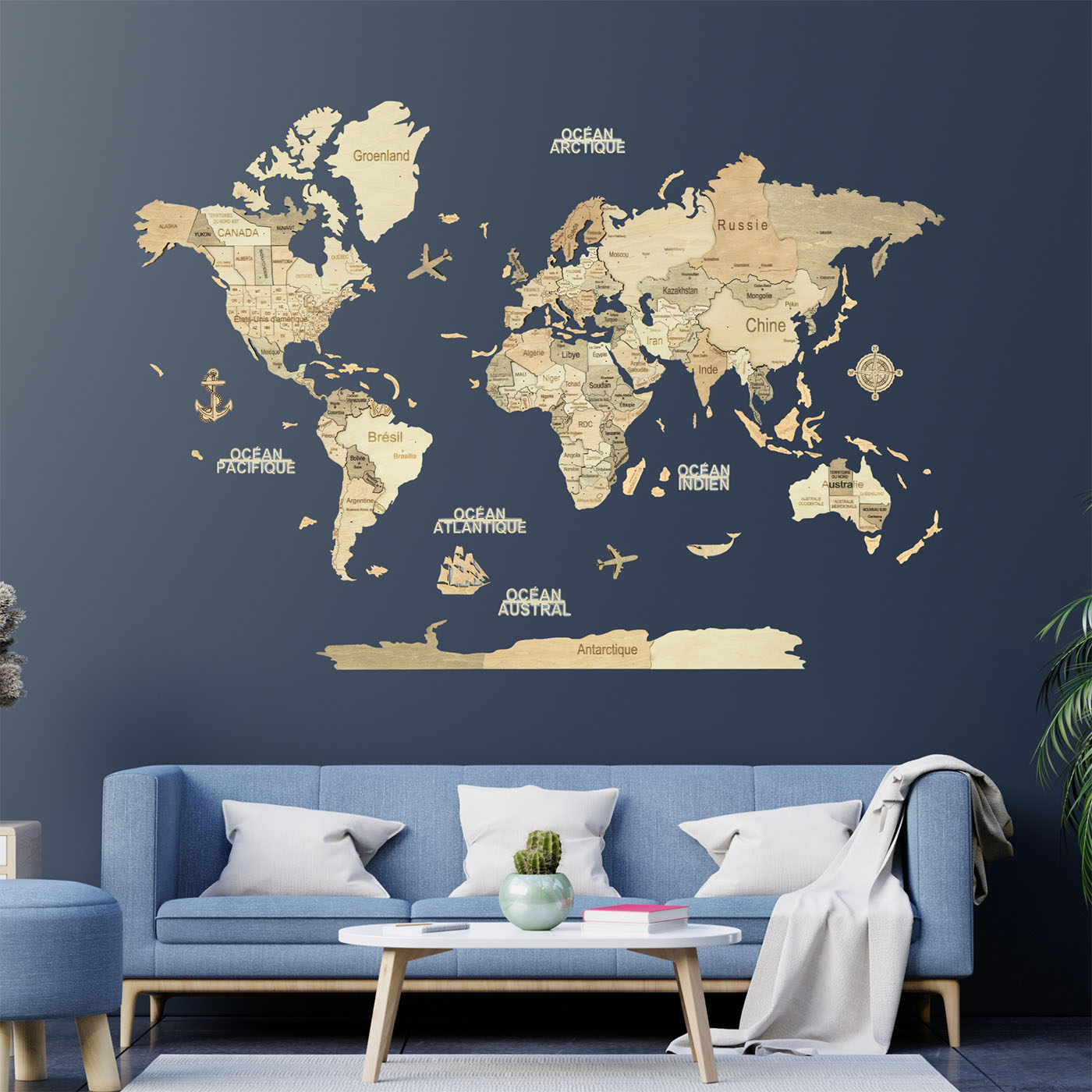
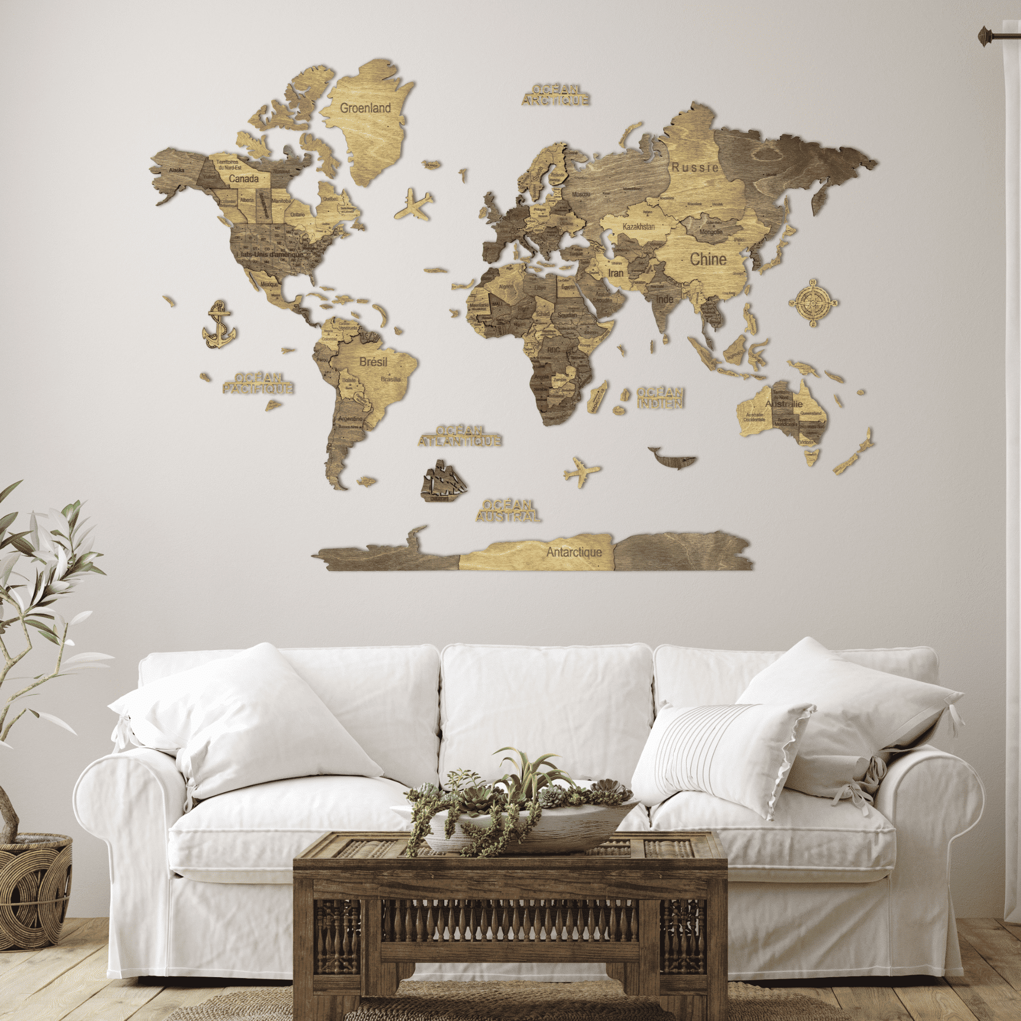
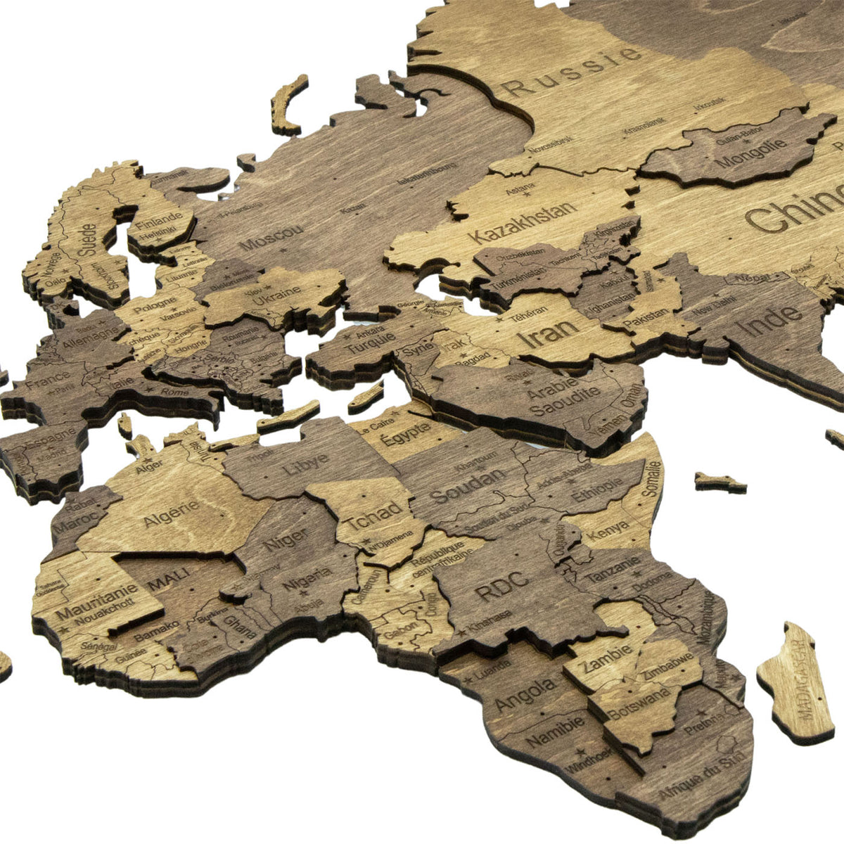
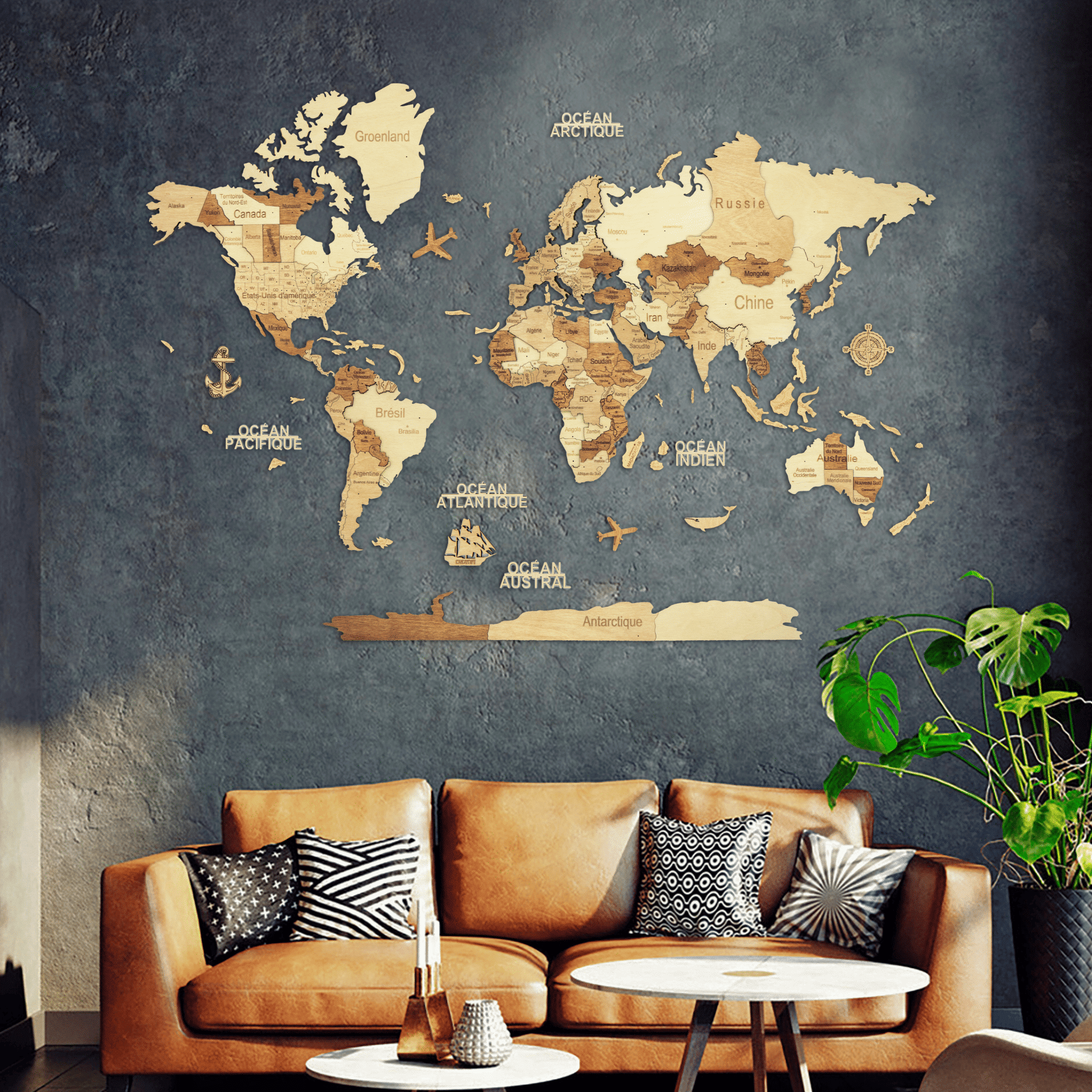
The map is identical; only the wood changes. On the 3D maps: Light is the palest we make, cream, straw and pale greige under a clear coat, where shadow does all the work. Amber lays a honey stain over parts of the same pale ground. Dark runs many warm browns from cream to walnut, country by country, and stays legible from across a room. Chocolate narrows that to two alternating tones and reads as marquetry. Graphite leaves the wood tones for slate and near-black, with a few sand and copper countries as relief. Multicolor is the only one where countries differ in hue rather than only in depth.
The 2D maps come in three, and the same name is not always the same wood: Light is bare birch, Dark a single warm oak brown throughout, Multicolor four tones laid across the map in blocks.
The rule that matters: pale finishes need a dark wall and dark finishes need a pale one, and it matters most on the flat maps, where no shadow separates wood from wall. Multicolor works on either, because its countries separate from each other rather than from the background.
How big do they go?
From an XS at 60 × 40 cm, on the 2D Dark only – a hallway, a home office, the space beside a door – to an XL at two metres across on every 3D finish. The 3D range starts at 80 × 55 cm on the Multicolor and at 100 × 70 cm on the other five; the 2D range runs from the XS to 150 × 100 cm; the panels come at 90 and 110 cm.
Measure before choosing. A rectangle grows in both directions at once, so the L covers more than twice the area of the M although it is only half again as wide, and most people underestimate rather than overestimate. Our size guide lists every size with its weight.
What is engraved on the map?
Country names, borders and capitals, and the internal divisions too – US states, Canadian provinces and Australian states – engraved individually on every map we make, the 2D maps adding the major cities. Antarctica is included, and the ocean names come as separate wooden lettering. A set of wooden accessories comes with each map to place across the oceans – a compass, two planes, a boat, an anchor and a whale – and the 2D maps add nine landmark and animal figures, from the Eiffel Tower to a penguin on Antarctica.
Every taped world map is offered with English or French lettering, chosen on the product page: the same engraving, every name changing with it. The two framed panels come in one language each, and the maps of France are engraved in French only.
How does it go up?
Double-sided tape, piece by piece, nothing drilled and nothing permanent. The 3D maps come with a paper positioning template that is taped to the wall first; the 2D maps come with two corner stencils that fix the corners and keep the map square. Allow a few hours for a 3D map and a couple for a 2D one, and expect it to go faster with two people – one holding, one standing back to check the alignment. Taking a map down again needs a hairdryer to soften the tape, and fresh tape to put it back up.
The tape holds on smooth painted plaster and similar flat surfaces. Heavily textured plaster, brick and freshly painted walls are where it struggles; for those, the framed panels hang from a fixing and the surface stops mattering.
Which maps here are not of the world?
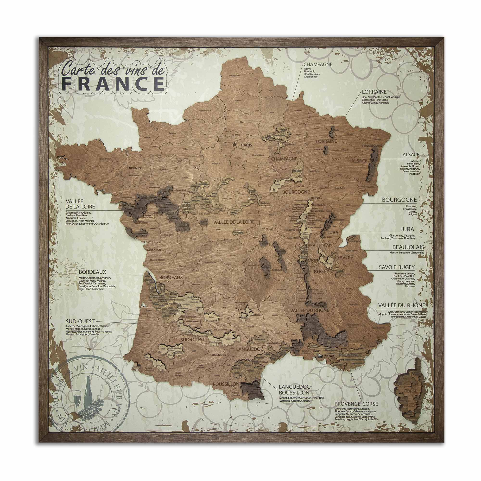
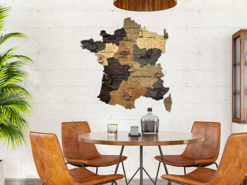
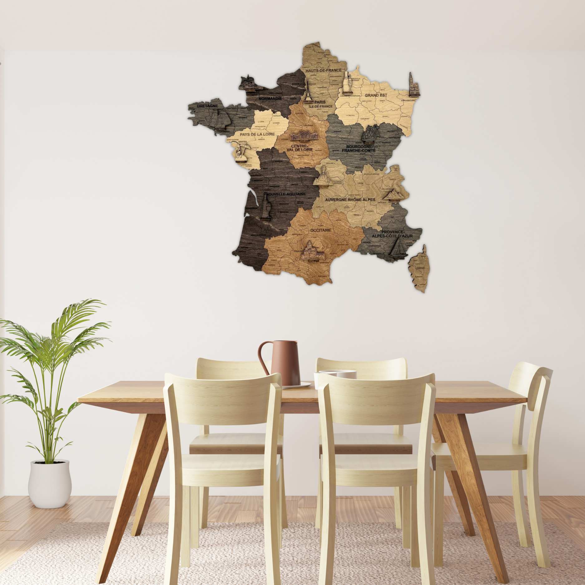
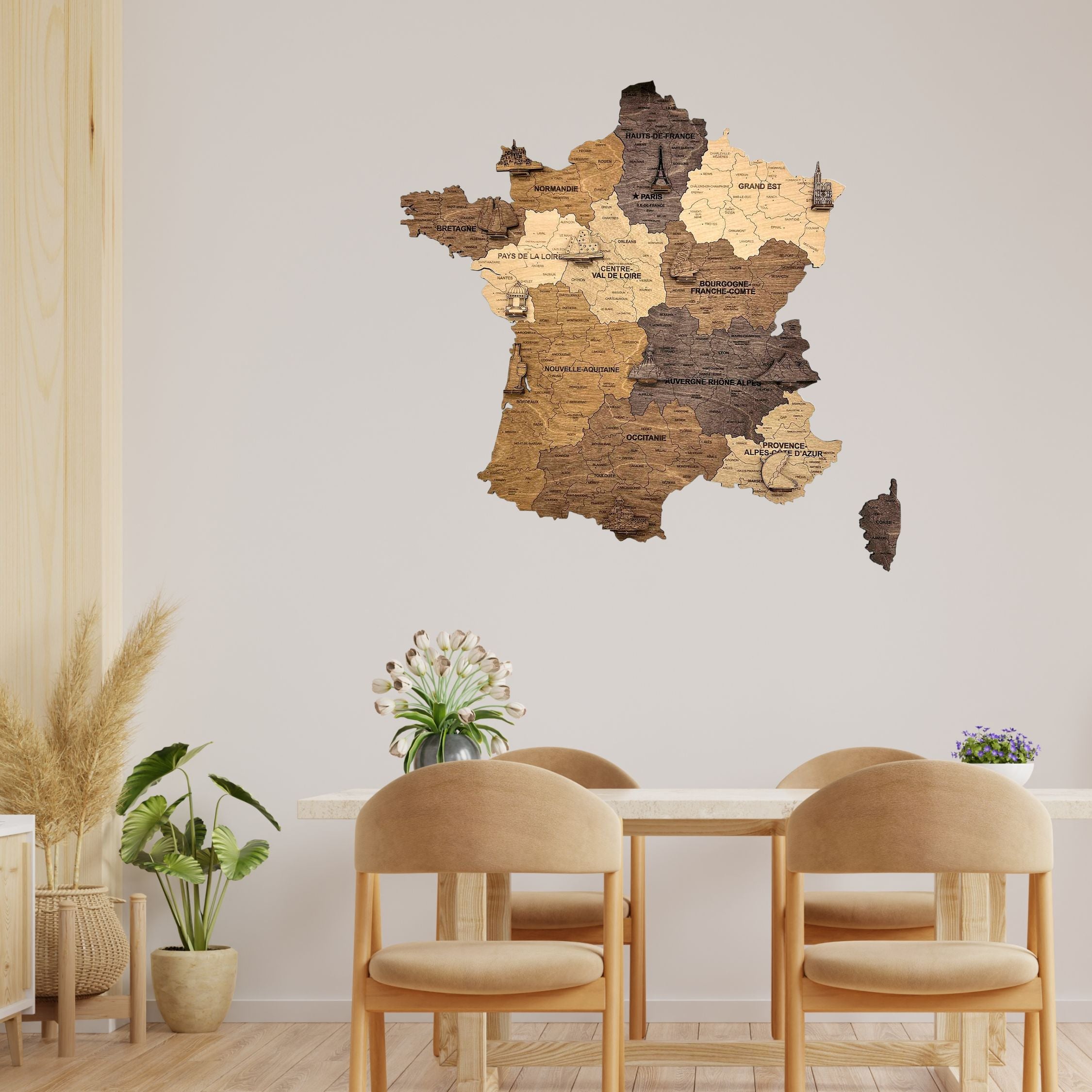
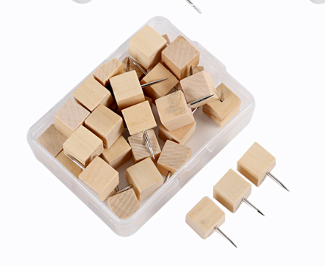
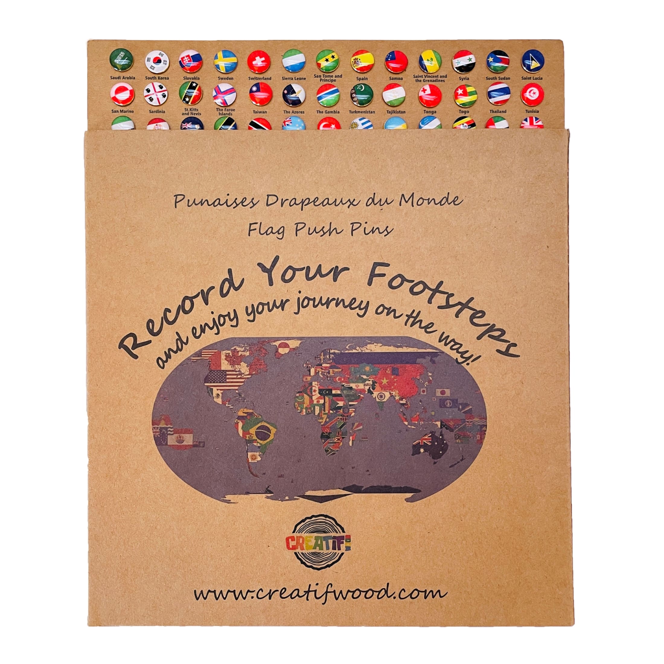
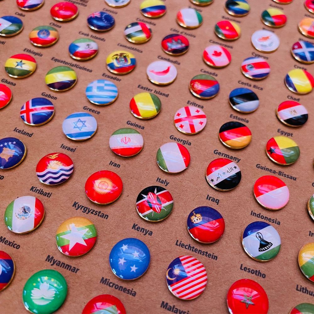
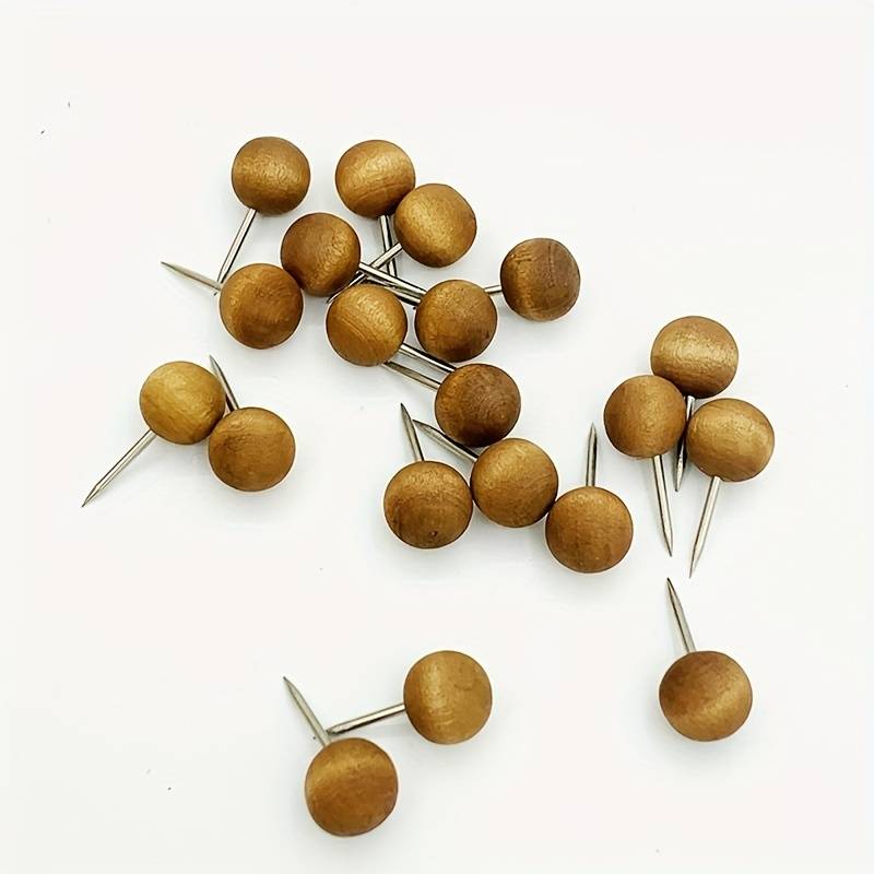
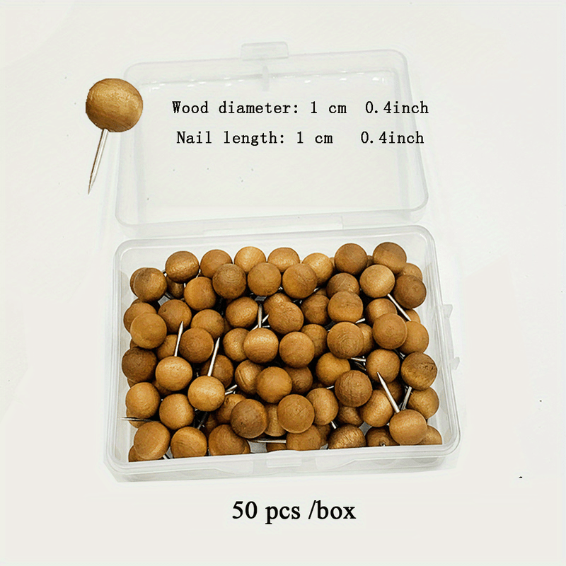
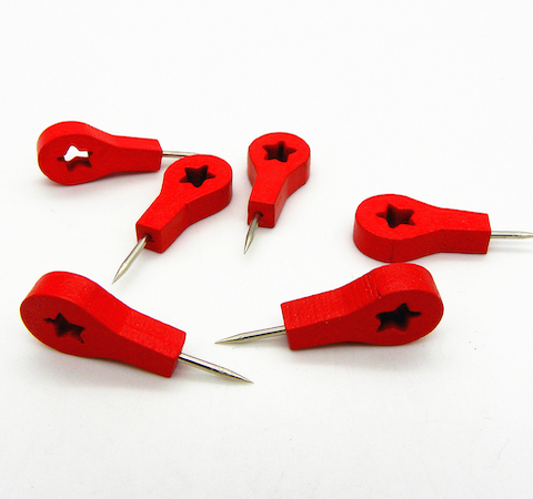
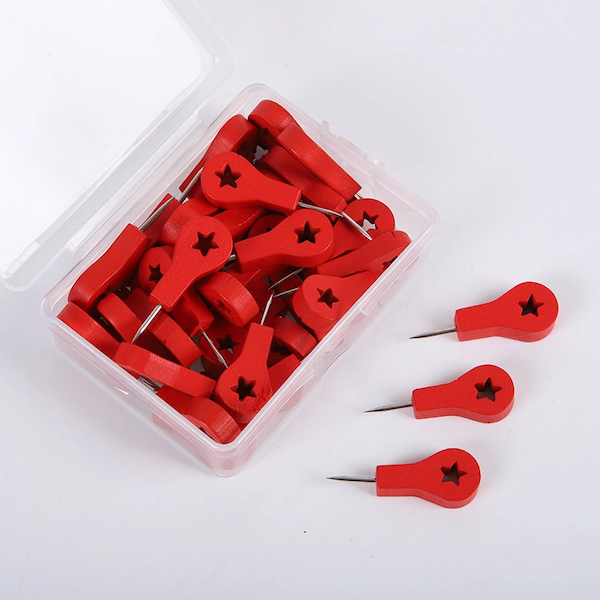
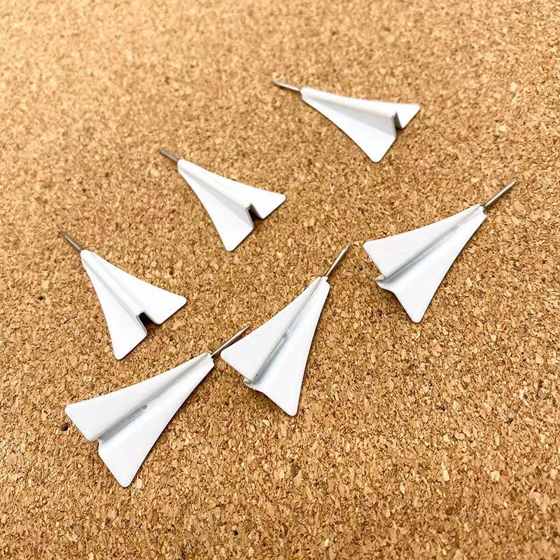
The maps of France, in 2D, 3D and as wine maps, and the maps of Italy have pages of their own. So do the map pins – flags, planes and plain wooden pins – that turn a map into a record of where you have been.
What these maps are not
Decorative objects rather than cartographic instruments. At this scale small countries and island groups are simplified or left out and coastlines are smoothed. If you need geographic precision, a printed map serves better.